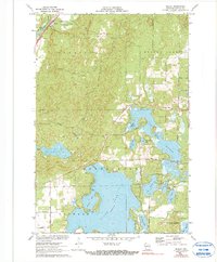
1971 Map of Seeley
USGS Topo · Published 1990About this map
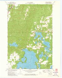
The Namekagon River winds through the northwestern corner of this Sawyer County landscape, designated as part of the St Croix National Scenic Riverway. In the early 1970s, the small settlement of Seeley serves as a local hub, situated alongside the Chicago and North Western rail line and the historic Riverside Cem. The geography is defined by a dense network of water bodies, including the sprawling Round Lake with its prominent Peninsula and the expansive Tiger Cat Flowage.
Find a feature on this map
43 named features on this map. Tap any name to fly to it.
Don’t see what you’re looking for? This feature index may not catch every label — zoom into the map to look around manually.
Map Details
Editions of this 1971 Seeley Map
2 editions found
Other maps of this area

1943 · Namekagon Lake
USGS Topo · 1:48,000

1944 · Couderay
USGS Topo · 1:48,000

1944 · Radisson
USGS Topo · 1:48,000

1944 · Hayward
USGS Topo · 1:48,000

1945 · Namekagon Lake
USGS Topo · 1:48,000

1948 · Couderay
USGS Topo · 1:48,000

1949 · Radisson
USGS Topo · 1:48,000

1953 · Ashland
USGS Topo · 1:250,000

1953 · Rice Lake
USGS Topo · 1:250,000

1958 · Ashland
USGS Topo · 1:250,000