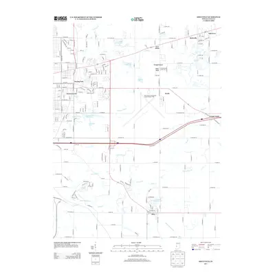
2013 Map of Seelyville
USGS Topo · Published 2013About this map
Seelyville and the eastern outskirts of Terre Haute define this landscape of early twenty-first-century suburban growth and historical transportation corridors. The map highlights a complex hydrographic network, featuring the winding path of Lost Cr and Honey Cr, alongside man-made landmarks like the Hulman Street Reservoir and Thompson Lake. The presence of the Wabash and Erie Canal traces the path of an older Indiana era, visible as it passes near the settlement of Riley.
Find a feature on this map
200 named features on this map. Tap any name to fly to it.
Don’t see what you’re looking for? This feature index may not catch every label — zoom into the map to look around manually.
Map Details
Editions of this 2013 Seelyville Map
This is the sole edition of this map. No revisions or reprints were ever made.
Other maps of this area

1908 · Clay City
USGS Topo · 1:48,000

1910 · Clay City
USGS Topo · 1:62,500

1940 · Lewis
USGS Topo · 1:24,000

1940 · Pimento
USGS Topo · 1:24,000

1941 · Seelyville
USGS Topo · 1:24,000

1941 · Terre Haute
USGS Topo · 1:24,000

1948 · Terre Haute
USGS Topo · 1:24,000

1950 · Rosedale
USGS Topo · 1:24,000

1950 · Brazil West
USGS Topo · 1:24,000

1950 · New Goshen
USGS Topo · 1:24,000