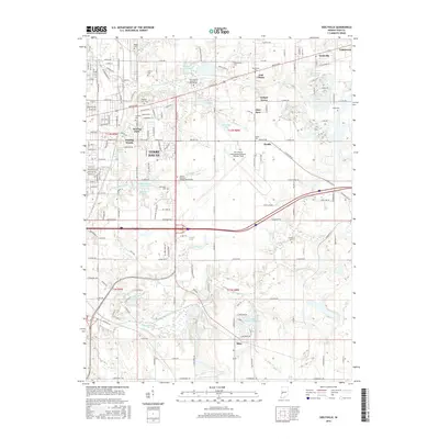
2016 Map of Seelyville
USGS Topo · Published 2016About this map
Terre Haute and its eastern suburbs are shown at a moment of modern transition, where established neighborhoods meet the legacy of historic infrastructure. The northern portion is defined by the sprawling campus of the Rose-Hulman Institute of Technology and the massive Highland Lawn Cem, while the Terre Haute International Airport-Hulman Field occupies a central position on the landscape. This area is characterized by several small communities such as Seelyville, Swalls, and East Glenn that serve as residential nodes between the city and the surrounding countryside.
Find a feature on this map
106 named features on this map. Tap any name to fly to it.
Don’t see what you’re looking for? This feature index may not catch every label — zoom into the map to look around manually.
Map Details
Editions of this 2016 Seelyville Map
This is the sole edition of this map. No revisions or reprints were ever made.
Other maps of this area

1908 · Clay City
USGS Topo · 1:48,000

1910 · Clay City
USGS Topo · 1:62,500

1940 · Lewis
USGS Topo · 1:24,000

1940 · Pimento
USGS Topo · 1:24,000

1941 · Seelyville
USGS Topo · 1:24,000

1941 · Terre Haute
USGS Topo · 1:24,000

1948 · Terre Haute
USGS Topo · 1:24,000

1950 · Rosedale
USGS Topo · 1:24,000

1950 · Brazil West
USGS Topo · 1:24,000

1950 · New Goshen
USGS Topo · 1:24,000