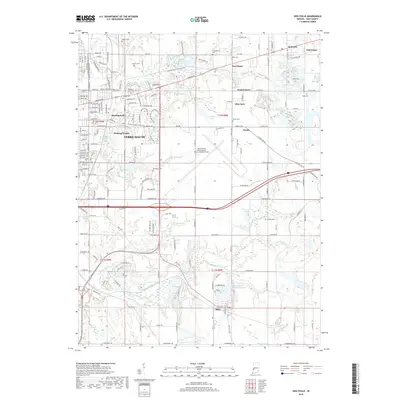
2019 Map of Seelyville
USGS Topo · Published 2019About this map
The eastern edges of Terre Haute meet a landscape shaped by transportation and memory in this 2019 survey. Extensive burial grounds like Highland Lawn Cem and Calvary Cem dominate the western portion of the sheet, while the city's green space is preserved at Deming Park and the adjacent Deming Woods. Moving eastward, the terrain transitions into the aviation corridor centered on the Terre Haute International Airport-Hulman Field, surrounded by smaller residential clusters such as Gospel Grove, Glen Ayre, and the village of Seelyville.
Find a feature on this map
100 named features on this map. Tap any name to fly to it.
Don’t see what you’re looking for? This feature index may not catch every label — zoom into the map to look around manually.
Map Details
Editions of this 2019 Seelyville Map
This is the sole edition of this map. No revisions or reprints were ever made.
Other maps of this area

1908 · Clay City
USGS Topo · 1:48,000

1910 · Clay City
USGS Topo · 1:62,500

1940 · Lewis
USGS Topo · 1:24,000

1940 · Pimento
USGS Topo · 1:24,000

1941 · Seelyville
USGS Topo · 1:24,000

1941 · Terre Haute
USGS Topo · 1:24,000

1948 · Terre Haute
USGS Topo · 1:24,000

1950 · Rosedale
USGS Topo · 1:24,000

1950 · Brazil West
USGS Topo · 1:24,000

1950 · New Goshen
USGS Topo · 1:24,000