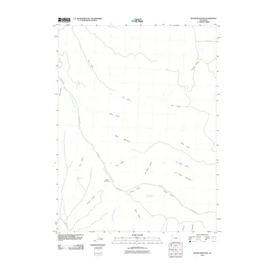
2010 Map of Segar Mountain
USGS Topo · Published 2010About this map
Dry Fork Piceance Creek winds through this portion of Rio Blanco County, creating a primary drainage system for the surrounding high-altitude terrain. The map documents a landscape defined by ranching and resource management, anchored by the Oldland Cow Camp. This settlement point suggests the area's continued use for livestock grazing, supported by critical water sources such as Post Gulch Spring and Timber Gulch Spring Number 3. The topography is dominated by large landforms including Segar Mountain and Joe Bush Mountain, which are flanked by a complex network of eroded features like Hay Gulch, Joe Bush Gulch, and Dark Canyon. The road network is limited to county routes like County Rd 22, highlighting the rural and utilitarian nature of the region in the early 21st century.
Find a feature on this map
22 named features on this map. Tap any name to fly to it.
Don’t see what you’re looking for? This feature index may not catch every label — zoom into the map to look around manually.
Map Details
Editions of this 2010 Segar Mountain Map
This is the sole edition of this map. No revisions or reprints were ever made.
Other maps of this area

1906 · Grand Hogback
USGS Topo · 1:125,000

1907 · White River
USGS Topo · 1:125,000

1910 · Danforth Hills
USGS Topo · 1:125,000

1910 · Grand Hogback
USGS Topo · 1:125,000

1910 · White River
USGS Topo · 1:125,000

1912 · Meeker
USGS Topo · 1:62,500

1914 · Meeker
USGS Topo · 1:62,500

1952 · Jessup Gulch
USGS Topo · 1:24,000

1952 · Greasewood Gulch
USGS Topo · 1:24,000

1952 · No Name Ridge
USGS Topo · 1:24,000