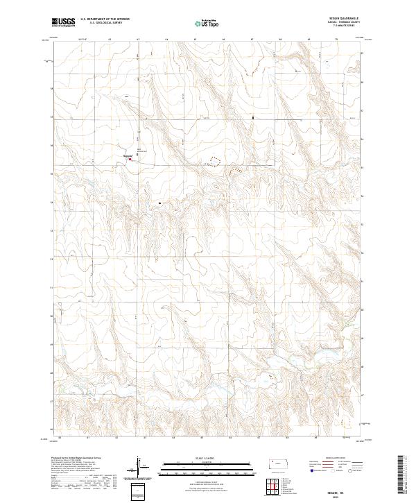
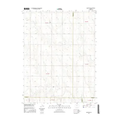
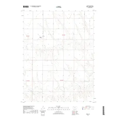
2022 Map of Seguin
USGS Topo · Published 2022About this map
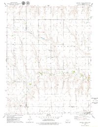
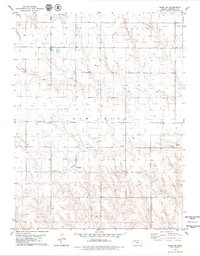
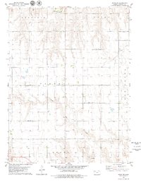
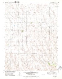
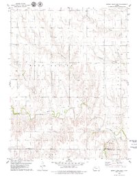
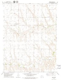
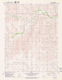
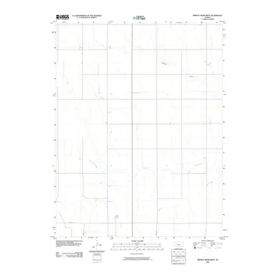
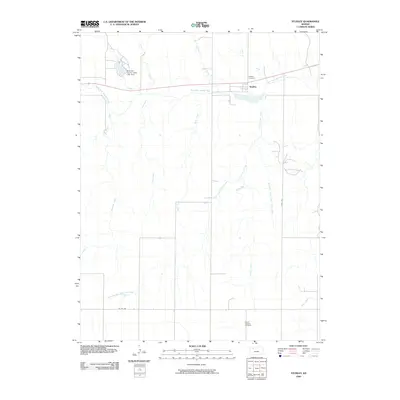
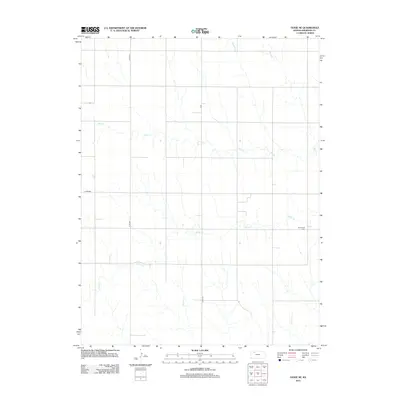
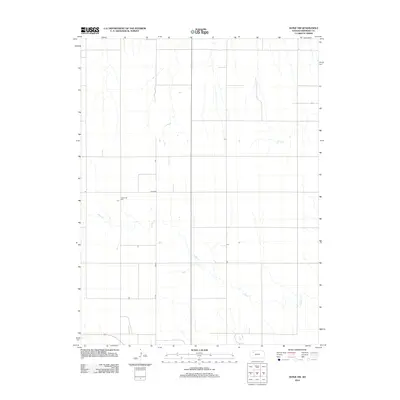
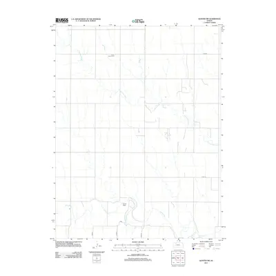
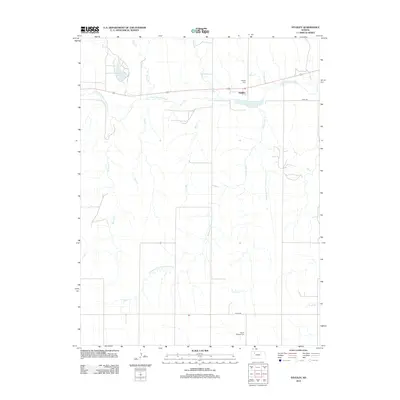
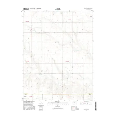
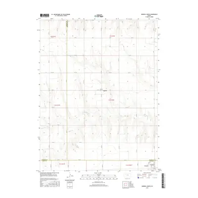
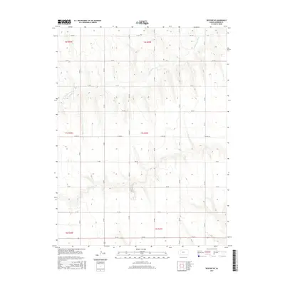
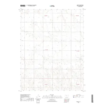
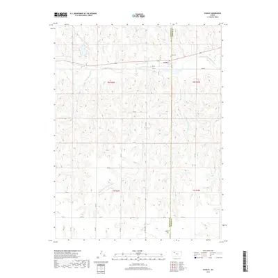
The small settlement of Seguin serves as a central point in this part of Sheridan County, defined by the grid-like precision of Kansas section lines and local thoroughfares like Rd 10 N and Rd 20 S. The landscape is etched by the drainage patterns of the S Fork Solomon River and Sand Cr, which create the only significant breaks in the agricultural layout of the High Plains. Genealogists and local historians will find the Saint Martins Cem located just east of the primary settlement, a critical landmark for tracing family roots in this rural community. The map illustrates the persistent structure of the Public Land Survey System, showing how township and range boundaries such as t8s r29w and t9s r30w continue to organize the territory.
Find a feature on this map
10 named features on this map. Tap any name to fly to it.
Don’t see what you’re looking for? This feature index may not catch every label — zoom into the map to look around manually.
Map Details
Editions of this 2022 Seguin Map
This is the sole edition of this map. No revisions or reprints were ever made.
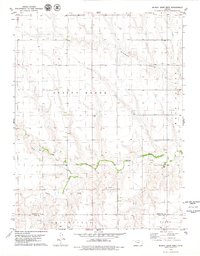
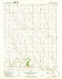
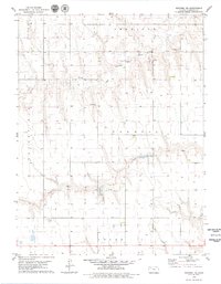
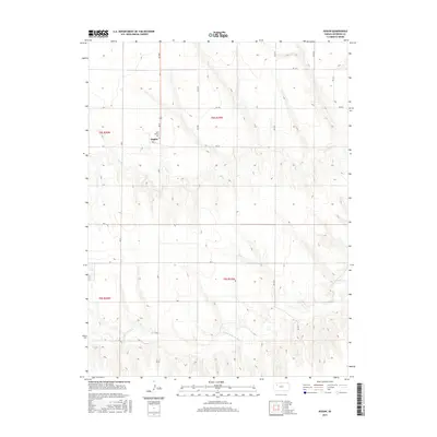
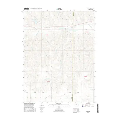
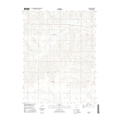
Historical Maps of Seguin Through Time
84 maps found
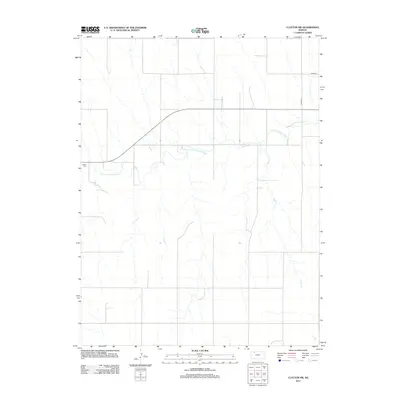
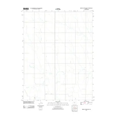
1978 Clayton SW
Sheridan County, KS
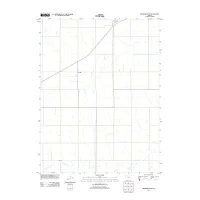
1978 Dresden South
Sheridan County, KS
1979 Grinnell NE
Sheridan County, KS
1979 Grinnell North
Sheridan County, KS
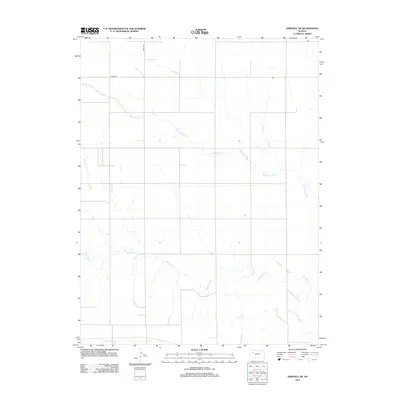
1979 Hoxie NE
Sheridan County, KS
1979 Hoxie NW
Sheridan County, KS
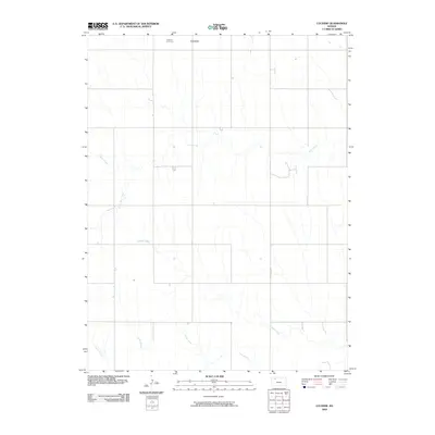
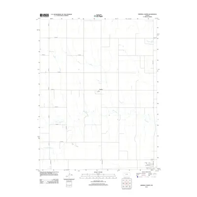
1979 Lucerne
Sheridan County, KS
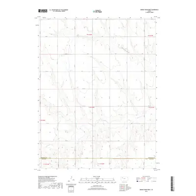
1979 Midway Draw East
Sheridan County, KS
1979 Midway Draw West
Sheridan County, KS
1979 Quinter NW
Sheridan County, KS
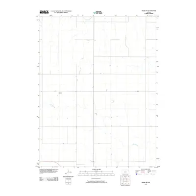
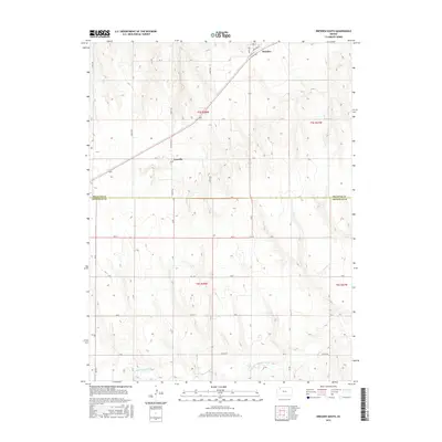
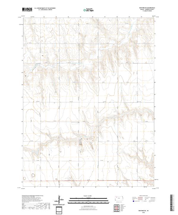
1979 Rexford NE
Sheridan County, KS
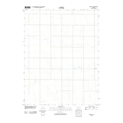
1979 Seguin
Sheridan County, KS

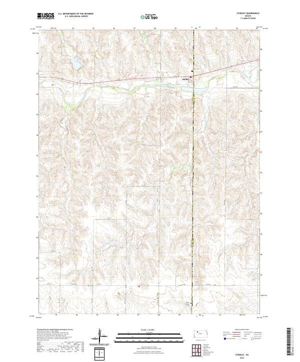
1979 Studley
Sheridan County, KS
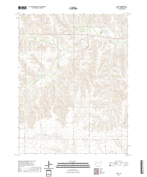
1979 Tasco
Sheridan County, KS
2009 Clayton SW
Sheridan County, KS
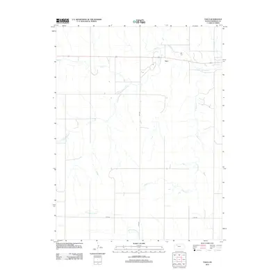
2009 Dresden South
Sheridan County, KS
2009 Hoxie NE
Sheridan County, KS
2009 Hoxie NW
Sheridan County, KS
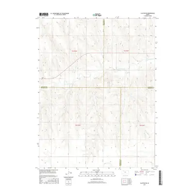
2009 Lucerne
Sheridan County, KS
2009 Midway Draw East
Sheridan County, KS
2009 Midway Draw West
Sheridan County, KS
2009 Quinter NW
Sheridan County, KS
2009 Rexford NE
Sheridan County, KS
2009 Seguin
Sheridan County, KS
2009 Studley
Sheridan County, KS
2009 Tasco
Sheridan County, KS
2010 Grinnell NE
Sheridan County, KS
2010 Grinnell North
Sheridan County, KS
2012 Clayton SW
Sheridan County, KS
2012 Dresden South
Sheridan County, KS
2012 Grinnell NE
Sheridan County, KS
2012 Grinnell North
Sheridan County, KS
2012 Hoxie NE
Sheridan County, KS
2012 Hoxie NW
Sheridan County, KS
2012 Lucerne
Sheridan County, KS
2012 Midway Draw East
Sheridan County, KS
2012 Midway Draw West
Sheridan County, KS
2012 Quinter NW
Sheridan County, KS
2012 Rexford NE
Sheridan County, KS
2012 Seguin
Sheridan County, KS
2012 Studley
Sheridan County, KS
2012 Tasco
Sheridan County, KS
2015 Clayton SW
Sheridan County, KS
2015 Dresden South
Sheridan County, KS
2015 Grinnell NE
Sheridan County, KS
2015 Grinnell North
Sheridan County, KS
2015 Hoxie NE
Sheridan County, KS
2015 Hoxie NW
Sheridan County, KS
2015 Lucerne
Sheridan County, KS
2015 Midway Draw East
Sheridan County, KS
2015 Midway Draw West
Sheridan County, KS
2015 Quinter NW
Sheridan County, KS
2015 Rexford NE
Sheridan County, KS
2015 Seguin
Sheridan County, KS
2015 Studley
Sheridan County, KS
2015 Tasco
Sheridan County, KS
2018 Clayton SW
Sheridan County, KS
2018 Dresden South
Sheridan County, KS
2018 Grinnell NE
Sheridan County, KS
2018 Grinnell North
Sheridan County, KS
2018 Hoxie NE
Sheridan County, KS
2018 Hoxie NW
Sheridan County, KS
2018 Lucerne
Sheridan County, KS
2018 Midway Draw East
Sheridan County, KS
2018 Midway Draw West
Sheridan County, KS
2018 Quinter NW
Sheridan County, KS
2018 Rexford NE
Sheridan County, KS
2018 Seguin
Sheridan County, KS
2018 Studley
Sheridan County, KS
2018 Tasco
Sheridan County, KS
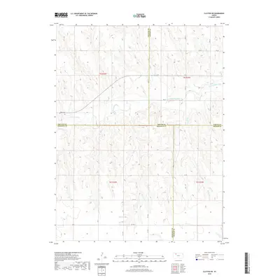
2022 Clayton SW
Sheridan County, KS
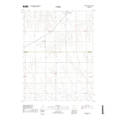
2022 Dresden South
Sheridan County, KS
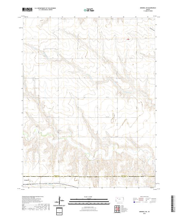
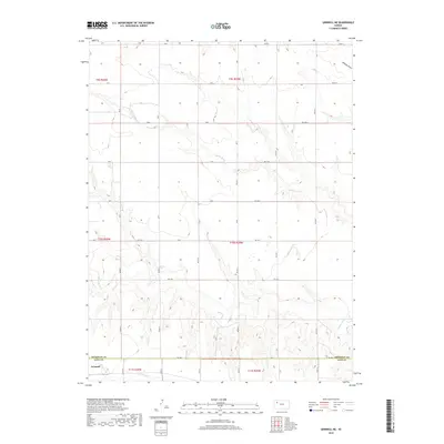
2022 Grinnell NE
Sheridan County, KS
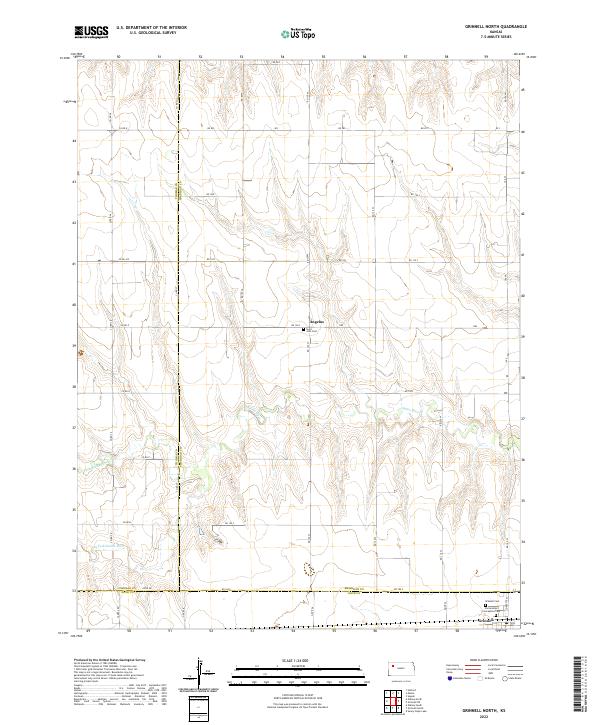
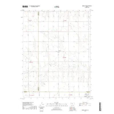
2022 Grinnell North
Sheridan County, KS
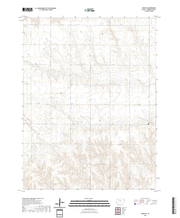
2022 Hoxie NE
Sheridan County, KS
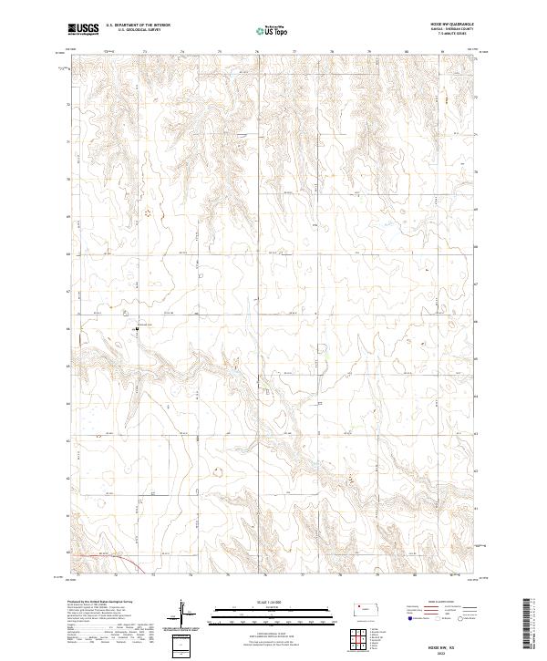
2022 Hoxie NW
Sheridan County, KS
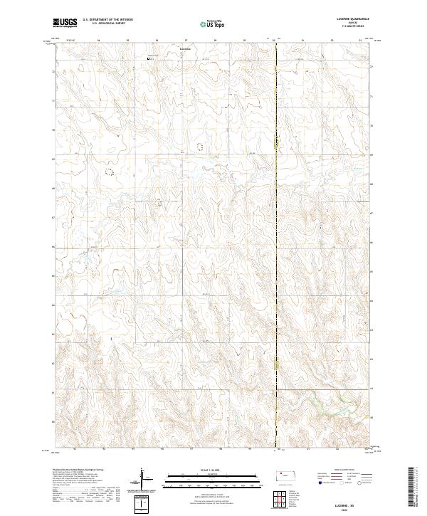
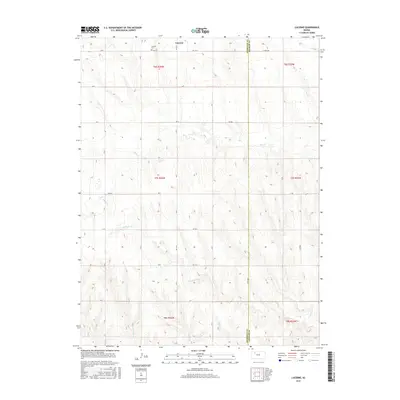
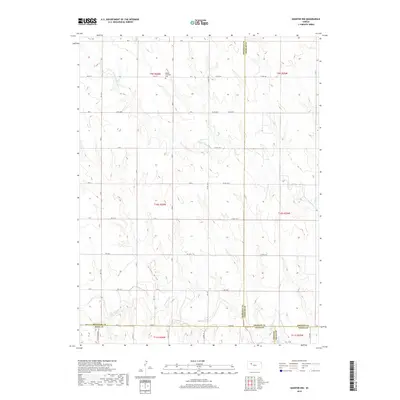
2022 Lucerne
Sheridan County, KS
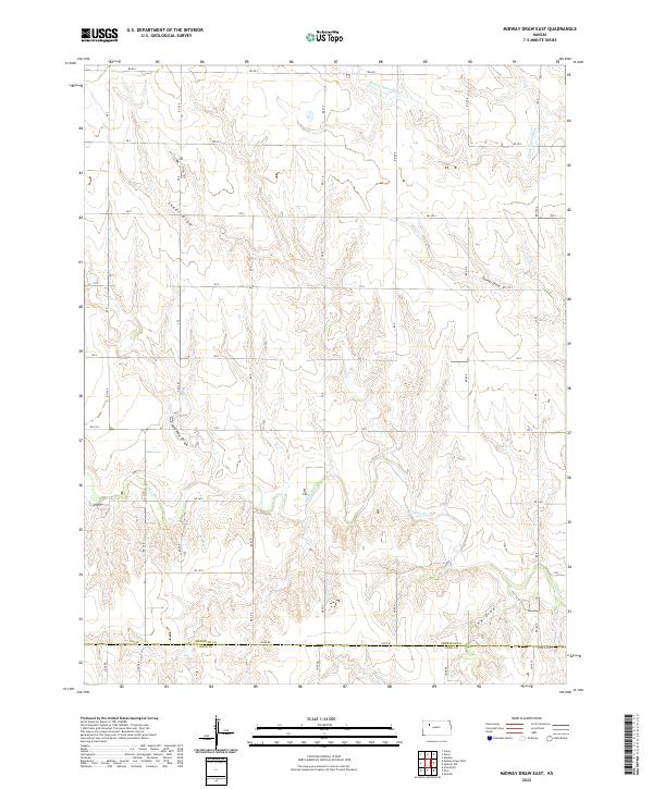
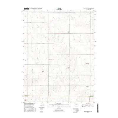
2022 Midway Draw East
Sheridan County, KS
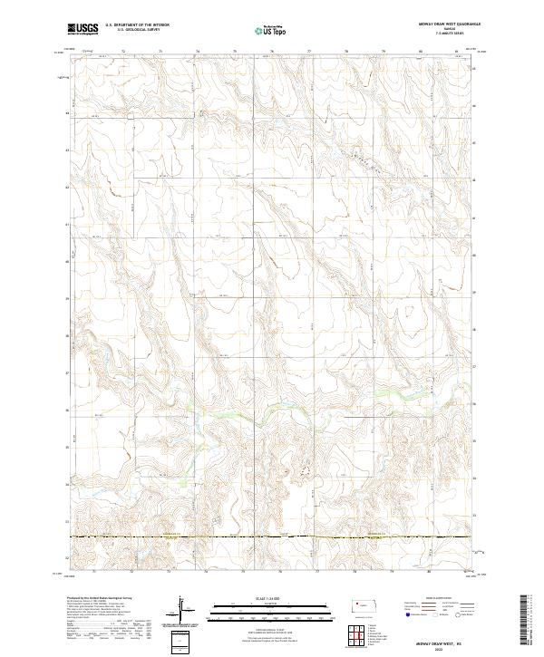
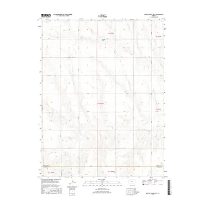
2022 Midway Draw West
Sheridan County, KS
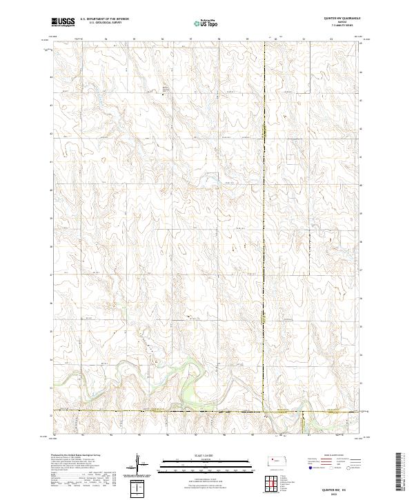
2022 Quinter NW
Sheridan County, KS
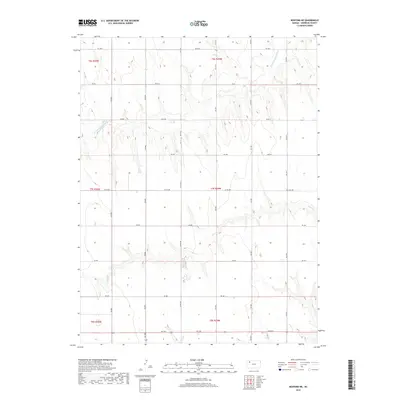
2022 Rexford NE
Sheridan County, KS
2022 Seguin
Sheridan County, KS
2022 Studley
Sheridan County, KS
2022 Tasco
Sheridan County, KS