
1979 Map of Rexford
USGS Topo · Published 1979About this map
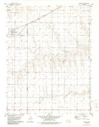
Rexford serves as the primary hub of this High Plains landscape during the late 1970s, situated at the intersection of the Chicago Rock Island and Pacific railroad and Highway 83. The town's grid is detailed with a local park and a benchmark elevation of 2,956 feet. Outside the settlement, the terrain is defined by the headwaters and drainage of the North Fork Solomon River, South Fork Solomon River, and Bow Creek, which cut through the open prairie. The map documents the rural infrastructure of the era, including scattered wells, a Gravel Pit, and a Radio Tower near the southern border. For genealogists and local historians, the location of the Rexford Cem south of town provides a vital reference point for the community's heritage in both Thomas and Sheridan counties.
Find a feature on this map
20 named features on this map. Tap any name to fly to it.
Don’t see what you’re looking for? This feature index may not catch every label — zoom into the map to look around manually.
Map Details
Editions of this 1979 Rexford Map
2 editions found
Other maps of this area

1951 · Selden
USGS Topo · 1:62,500

1951 · Achilles
USGS Topo · 1:62,500

1954 · Goodland
USGS Topo · 1:250,000

1956 · Goodland
USGS Topo · 1:250,000

1957 · Goodland
USGS Topo · 1:250,000

1978 · Selden
USGS Topo · 1:24,000

1978 · Achilles SE
USGS Topo · 1:24,000

1978 · Selden SW
USGS Topo · 1:24,000

1979 · Menlo
USGS Topo · 1:24,000
1979 · Rexford NE
USGS Topo · 1:24,000