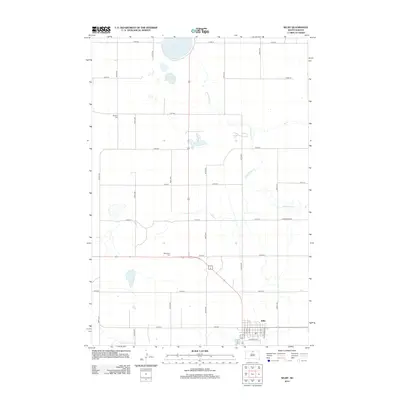
2012 Map of Selby
USGS Topo · Published 2012About this map
Selby serves as the focal point for this section of Walworth County, arranged in a grid that meets the rail corridor at S Railway St. The landscape is defined by the drainage of Hiddenwood Cr and a series of prairie lakes, including Sand Lake and Little Sand Lake in the north. This region maintains its rural character through a strict section-line road network, such as Hiddenwood Rd, which connects the scattered homesteads and agricultural tracts. For those tracing family histories or local heritage, the map identifies two significant rural burial sites: Bethany Cem to the northwest and Bethlehem Cem situated centrally along the main highway route. The geography here illustrates the transition from organized township grids to the natural, meandering paths of the local creeks.
Find a feature on this map
28 named features on this map. Tap any name to fly to it.
Don’t see what you’re looking for? This feature index may not catch every label — zoom into the map to look around manually.
Map Details
Editions of this 2012 Selby Map
This is the sole edition of this map. No revisions or reprints were ever made.
Other maps of this area

1953 · McIntosh
USGS Topo · 1:250,000

1954 · Aberdeen
USGS Topo · 1:250,000

1956 · Aberdeen
USGS Topo · 1:250,000

1958 · McIntosh
USGS Topo · 1:250,000

1967 · Mound City
USGS Topo · 1:24,000

1967 · Selby SW
USGS Topo · 1:24,000

1967 · Selby
USGS Topo · 1:24,000

1967 · Selby NW
USGS Topo · 1:24,000

1968 · Akaska NW
USGS Topo · 1:24,000

1968 · Akaska NE
USGS Topo · 1:24,000