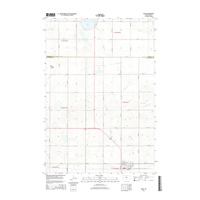
2015 Map of Selby
USGS Topo · Published 2015About this map
Selby serves as the focal point of this Walworth County survey, positioned at the junction of several local thoroughfares including Dakota St and Scranton St. The town's layout is defined by its relationship with the railway, with N Railway St and S Railway St framing the central corridor. To the north, the landscape is marked by the presence of Sand Lake and Little Sand Lake, while the western edge reveals the expansive Blue Blanket Lakebed. For genealogists and local historians, the placement of rural burial grounds like Bethlehem Cem and Bethany Cem near the Campbell County line provides essential geographical context for family research. The terrain is further characterized by the meandering path of Hiddenwood Cr, which cuts through the township sections as it drains toward the southeast.
Find a feature on this map
38 named features on this map. Tap any name to fly to it.
Don’t see what you’re looking for? This feature index may not catch every label — zoom into the map to look around manually.
Map Details
Editions of this 2015 Selby Map
This is the sole edition of this map. No revisions or reprints were ever made.
Other maps of this area

1953 · McIntosh
USGS Topo · 1:250,000

1954 · Aberdeen
USGS Topo · 1:250,000

1956 · Aberdeen
USGS Topo · 1:250,000

1958 · McIntosh
USGS Topo · 1:250,000

1967 · Mound City
USGS Topo · 1:24,000

1967 · Selby SW
USGS Topo · 1:24,000

1967 · Selby
USGS Topo · 1:24,000

1967 · Selby NW
USGS Topo · 1:24,000

1968 · Akaska NW
USGS Topo · 1:24,000

1968 · Akaska NE
USGS Topo · 1:24,000