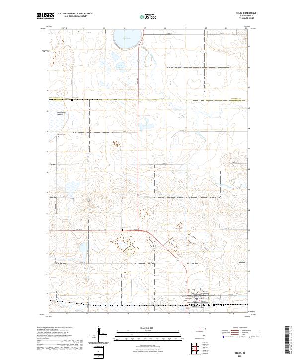
2021 Map of Selby
USGS Topo · Published 2021About this map
Selby serves as the focal point of this Northern Plains landscape, situated at the intersection of a vast grid of section roads and the regional railway corridor. As the seat of Walworth County, the town is anchored by the Walworth County Courthouse, surrounded by a residential street plan including Scranton St and Bangor St. The surrounding countryside reveals the hydrology of the Missouri Plateau, characterized by the meandering Hiddenwood Cr and localized basins such as Sand Lake and Little Sand Lake. Evidence of early settlement and community life is found in the rural cemeteries that dot the landscape, specifically Bethlehem Cem to the north and Bethany Cem near the western boundary. The presence of the Blue Blanket Lakebed suggests the seasonal nature of water in this semi-arid environment, where agriculture and transit are defined by the rigid alignment of 130th St and 304th Ave.
Find a feature on this map
38 named features on this map. Tap any name to fly to it.
Don’t see what you’re looking for? This feature index may not catch every label — zoom into the map to look around manually.
Map Details
Editions of this 2021 Selby Map
This is the sole edition of this map. No revisions or reprints were ever made.
Other maps of this area

1953 · McIntosh
USGS Topo · 1:250,000

1954 · Aberdeen
USGS Topo · 1:250,000

1956 · Aberdeen
USGS Topo · 1:250,000

1958 · McIntosh
USGS Topo · 1:250,000

1967 · Mound City
USGS Topo · 1:24,000

1967 · Selby SW
USGS Topo · 1:24,000

1967 · Selby
USGS Topo · 1:24,000

1967 · Selby NW
USGS Topo · 1:24,000

1968 · Akaska NW
USGS Topo · 1:24,000

1968 · Akaska NE
USGS Topo · 1:24,000