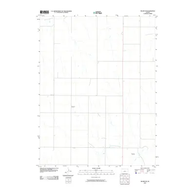
2009 Map of Selden NE
USGS Topo · Published 2009About this map
South Fork Sappa Creek and the meandering North Fork Prairie Dog Creek define the agricultural landscape of northern Kansas in this early 21st-century survey. The terrain is marked by a systematic grid of section roads, including Co Rd 352, and the prominent north-south corridor of Route 83. This specific period shows the area’s enduring rural character, where small family cemeteries serve as the primary landmarks for genealogists and local historians. The Mennonite Cemetery and Shibboleth Cemetery are situated in the southern half of the quadrangle, positioned near the waters of Prairie Dog Creek and its tributaries. These sites, along with the drainage of Big Timber Creek, provide essential spatial references for tracing ancestral land ties in Decatur County.
Find a feature on this map
8 named features on this map. Tap any name to fly to it.
Don’t see what you’re looking for? This feature index may not catch every label — zoom into the map to look around manually.
Map Details
Editions of this 2009 Selden NE Map
This is the sole edition of this map. No revisions or reprints were ever made.
Other maps of this area

1951 · Selden
USGS Topo · 1:62,500

1951 · Oberlin
USGS Topo · 1:62,500

1951 · Kanona
USGS Topo · 1:62,500

1954 · Goodland
USGS Topo · 1:250,000

1956 · Goodland
USGS Topo · 1:250,000

1957 · Goodland
USGS Topo · 1:250,000

1965 · Oberlin
USGS Topo · 1:24,000

1965 · Kanona
USGS Topo · 1:24,000

1965 · Oberlin SW
USGS Topo · 1:24,000

1965 · Selden NW
USGS Topo · 1:24,000