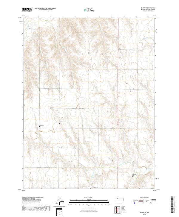
2022 Map of Selden NE
USGS Topo · Published 2022About this map
The high plains of Decatur County are defined here by a network of drainage basins and isolated pioneer burial sites. Three distinct cemeteries — Lund Church Cem, the Mennonite Cem, and Shibboleth Cem — serve as landmarks for genealogists tracing early settlement patterns in this rural Kansas landscape. The terrain is shaped by several watercourses including Big Timber Cr in the northeast and the confluence of N Fork Prairie Dog Cr and Prairie Dog Cr in the southeast. These creek valleys are connected by a grid of rural routes such as Co RD 352 and Co RD 348, which follow the section lines of the Public Land Survey System. The map documents a landscape primarily dedicated to agriculture, where the topography of the S Fork Sappa Cr basin dictates the placement of roads and farmstead locations.
Find a feature on this map
22 named features on this map. Tap any name to fly to it.
Don’t see what you’re looking for? This feature index may not catch every label — zoom into the map to look around manually.
Map Details
Editions of this 2022 Selden NE Map
This is the sole edition of this map. No revisions or reprints were ever made.
Other maps of this area

1951 · Selden
USGS Topo · 1:62,500

1951 · Oberlin
USGS Topo · 1:62,500

1951 · Kanona
USGS Topo · 1:62,500

1954 · Goodland
USGS Topo · 1:250,000

1956 · Goodland
USGS Topo · 1:250,000

1957 · Goodland
USGS Topo · 1:250,000

1965 · Oberlin
USGS Topo · 1:24,000

1965 · Kanona
USGS Topo · 1:24,000

1965 · Oberlin SW
USGS Topo · 1:24,000

1965 · Selden NW
USGS Topo · 1:24,000