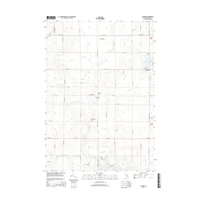
2014 Map of Selkirk
USGS Topo · Published 2014About this map
The Rifle River and its numerous tributaries, including Klacking Cr and Ammond Cr, form the primary drainage system for this section of Ogemaw County. The settlement of Selkirk is positioned near the river's bend, serving as a focal point for the surrounding rural area. Nearby, the Churchill Township Cem and Thompson Airport provide markers of local infrastructure and community history.
Find a feature on this map
68 named features on this map. Tap any name to fly to it.
Don’t see what you’re looking for? This feature index may not catch every label — zoom into the map to look around manually.
Map Details
Editions of this 2014 Selkirk Map
This is the sole edition of this map. No revisions or reprints were ever made.
Other maps of this area

1954 · Traverse City
USGS Topo · 1:250,000

1954 · Tawas City
USGS Topo · 1:250,000

1958 · Traverse City
USGS Topo · 1:250,000

1958 · Tawas City
USGS Topo · 1:250,000

1965 · Damon
USGS Topo · 1:24,000

1965 · West Branch
USGS Topo · 1:24,000

1965 · Selkirk
USGS Topo · 1:24,000

1965 · Rose City
USGS Topo · 1:24,000

1968 · Prescott
USGS Topo · 1:24,000

1968 · Sage Lake
USGS Topo · 1:24,000