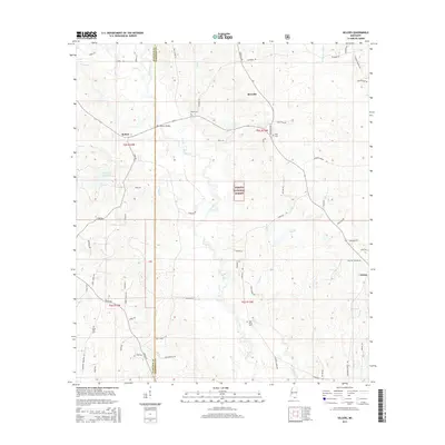
2015 Map of Sellers
USGS Topo · Published 2015About this map
Wolf River winds through the heart of this coastal piney woods landscape, defining the border between Hancock and Harrison counties. The rural character of the area is anchored by the small communities of Sellers and Riceville, where family names like Shaw, Ladner, and Cuevas are etched into the local geography through roads and burial grounds. Landmarks such as Sellers Bridge and the Shaw Cem provide specific points of interest for those tracing lineage in this part of Mississippi.
Find a feature on this map
69 named features on this map. Tap any name to fly to it.
Don’t see what you’re looking for? This feature index may not catch every label — zoom into the map to look around manually.
Map Details
Editions of this 2015 Sellers Map
This is the sole edition of this map. No revisions or reprints were ever made.
Other maps of this area

1953 · Mobile
USGS Topo · 1:250,000

1954 · McHenry
USGS Topo · 1:62,500

1955 · Savannah
USGS Topo · 1:62,500

1956 · Vidalia
USGS Topo · 1:24,000

1956 · Gulfport NW
USGS Topo · 1:24,000

1957 · Mobile
USGS Topo · 1:250,000
1959 · Kiln
USGS Topo · 1:24,000

1960 · Mobile
USGS Topo · 1:250,000

1963 · Mobile
USGS Topo · 1:250,000

1965 · Mobile
USGS Topo · 1:250,000