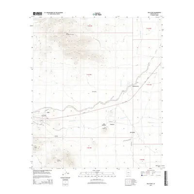
2014 Map of Sells East
USGS Topo · Published 2014About this map
Sells serves as the focal point of this 2014 geographic study, situated where the Sells Valley meets the rising elevations of the South Comobabi Mountains. The map documents a cluster of settlements and educational institutions within the Tohono O'odham Nation, including the Tohono O'odham Community Coll and the village of Ali Chukson. The landscape is defined by a network of drainage systems like Sells Wash and Comobabi Wash that carve through the arid terrain, illustrating how water and topography influence the placement of local roads such as Az-86 and Artesia Rd.
Find a feature on this map
67 named features on this map. Tap any name to fly to it.
Don’t see what you’re looking for? This feature index may not catch every label — zoom into the map to look around manually.
Map Details
Editions of this 2014 Sells East Map
This is the sole edition of this map. No revisions or reprints were ever made.
Other maps of this area

1934 · Silver Bell
USGS Topo · 1:125,000

1937 · Comobabi
USGS Topo · 1:48,000

1938 · San Vicente
USGS Topo · 1:62,500

1941 · San Vicente
USGS Topo · 1:62,500

1941 · Baboquivari Peak
USGS Topo · 1:62,500

1941 · Sells
USGS Topo · 1:62,500

1942 · San Vicente
USGS Topo · 1:62,500

1942 · Comobabi
USGS Topo · 1:62,500

1943 · Sells
USGS Topo · 1:62,500

1943 · Fresnal
USGS Topo · 1:125,000