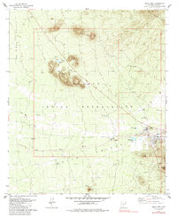
1979 Map of Sells West
USGS Topo · Published 1985About this map
Sells serves as the focal point of this late 1970s survey, situated within the Papago Indian Reservation. The map details a landscape where traditional water management is vital, evidenced by numerous tanks like Bird Nest Tank and Suwuk Tank scattered across the Sells Valley. The town's community infrastructure is well-defined, including the Sells Airport, Rodeo Grounds, and a Cem located near the local Hosp.
Find a feature on this map
28 named features on this map. Tap any name to fly to it.
Don’t see what you’re looking for? This feature index may not catch every label — zoom into the map to look around manually.
Map Details
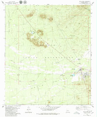
Editions of this 1979 Sells West Map
2 editions found
Other maps of this area

1934 · Silver Bell
USGS Topo · 1:125,000

1937 · Comobabi
USGS Topo · 1:48,000

1941 · Sells
USGS Topo · 1:62,500

1942 · Comobabi
USGS Topo · 1:62,500

1943 · Sells
USGS Topo · 1:62,500

1943 · Fresnal
USGS Topo · 1:125,000

1953 · Ajo
USGS Topo · 1:250,000

1954 · Sonoyta
USGS Topo · 1:250,000

1956 · Nogales
USGS Topo · 1:250,000

1956 · Tucson
USGS Topo · 1:250,000