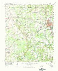
1958 Map of Selma
USGS Topo · Published 1984About this map
The Alabama River and Cahaba River define the landscape of Dallas County in the late 1950s, converging south of the historic city of Selma. This era finds the region anchored by a mix of educational institutions like Selma University and Parrish High Sch, alongside a strong military presence at Craig Air Force Base in the southeast. The map reveals a dense network of rural communities and crossroads, such as Marion Junction and Orrville, which were vital hubs for the surrounding agricultural lands.
Find a feature on this map
120 named features on this map. Tap any name to fly to it.
Don’t see what you’re looking for? This feature index may not catch every label — zoom into the map to look around manually.
Map Details
Editions of this 1958 Selma Map
3 editions found
Other maps of this area

1891 · Clanton
USGS Topo · 1:125,000

1953 · Montgomery
USGS Topo · 1:250,000

1956 · Montgomery
USGS Topo · 1:250,000

1957 · Montgomery
USGS Topo · 1:250,000

1957 · Carlowville
USGS Topo · 1:62,500

1957 · Benton
USGS Topo · 1:62,500

1957 · Braggs
USGS Topo · 1:62,500

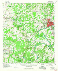
1958 · Selma
USGS Topo · 1:62,500

1958 · Selma
USGS Topo · 1:24,000

1959 · Plantersville
USGS Topo · 1:62,500