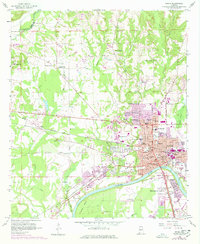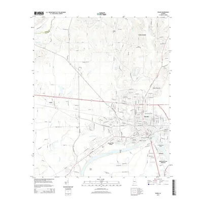
1986 Map of Selma
USGS Topo · Published 1990About this map
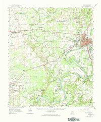
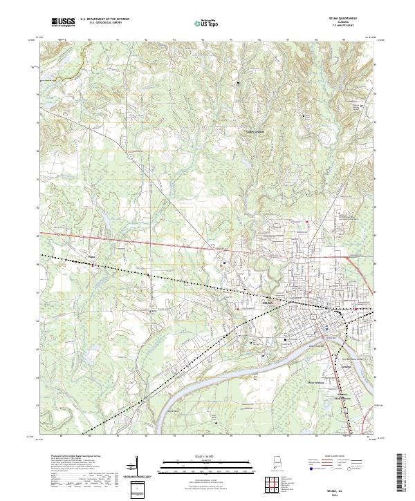
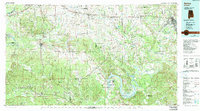
Selma sits as a primary hub on this mid-1980s survey, marking a landscape defined by the winding course of the Alabama River and its major tributaries. The map reveals a deeply established network of small communities and rural family landmarks across Dallas, Marengo, and Perry counties. Transport corridors like the Southern RR and the Louisville & Nashville RR intersect at Marion Junction, highlighting the region's historical reliance on rail for moving timber and agricultural goods. To the west, the confluence of the Black Warrior River and the Tombigbee River near Demopolis anchors the riverine commerce of the Black Belt.
Find a feature on this map
229 named features on this map. Tap any name to fly to it.
Don’t see what you’re looking for? This feature index may not catch every label — zoom into the map to look around manually.
Map Details
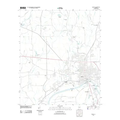
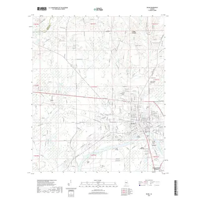
Editions of this 1986 Selma Map
2 editions found

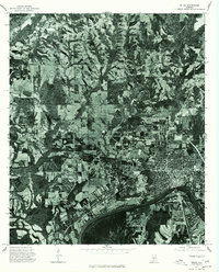
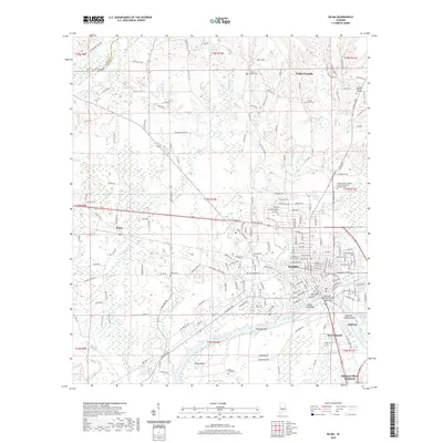
Historical Maps of Selma Through Time
9 maps found