
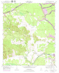
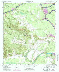
1948 Map of Mc Dowell
USGS Topo · Published 1973About this map
The Tombigbee River dominates this West Alabama landscape, winding through a complex network of wetlands and sharp oxbows including Twelvemile Bend and The Ravine. Before modern bridge infrastructure fully transformed the region, the McDowell Ferry served as a critical crossing point near the community of McDowell. The map illustrates a rural society deeply rooted in its local institutions, with numerous small schoolhouses like Snow Hill Sch and Belmont Sch alongside country churches such as Bucks Chapel and Mt Carmel Ch.
Find a feature on this map
41 named features on this map. Tap any name to fly to it.
Don’t see what you’re looking for? This feature index may not catch every label — zoom into the map to look around manually.
Map Details
Editions of this 1948 Mc Dowell Map
3 editions found
Other maps of this area

1929 · Epes
USGS Topo · 1:48,000

1932 · Epes
USGS Topo · 1:62,500

1946 · Demopolis
USGS Topo · 1:24,000

1947 · Demopolis
USGS Topo · 1:24,000

1947 · Mason Bend
USGS Topo · 1:24,000

1947 · Forkland
USGS Topo · 1:24,000

1948 · Mason Bend
USGS Topo · 1:24,000

1949 · Mc Dowell
USGS Topo · 1:24,000

1949 · Forkland
USGS Topo · 1:24,000

1953 · Montgomery
USGS Topo · 1:250,000