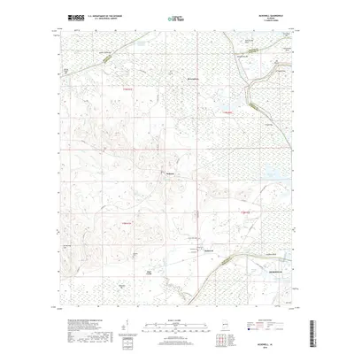
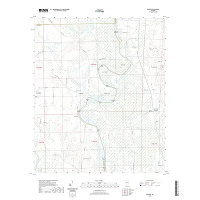
1948 Map of Mc Dowell
USGS Topo · Published 1979About this map
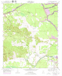
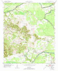
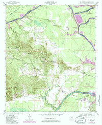
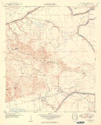
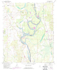
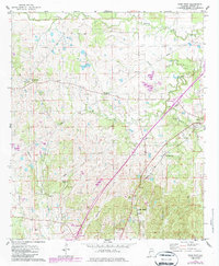
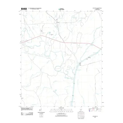
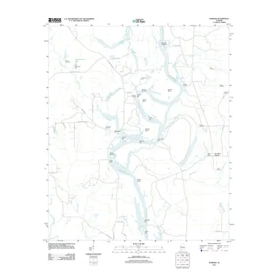
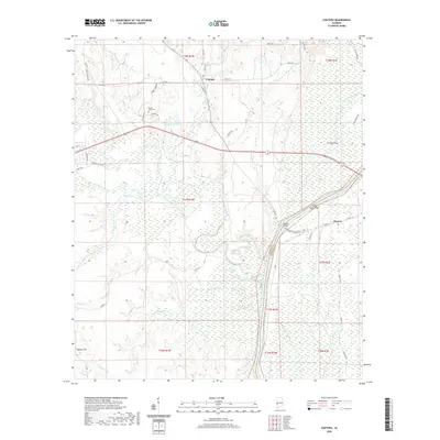
The Tombigbee River snakes through the heart of this landscape at the intersection of Sumter, Greene, and Marengo Counties. The terrain is defined by the winding river channel, including the prominent Twelvemile Bend and the broader expanse of Demopolis Lake, which was recorded at an elevation of 74 feet in 1976. Inland, the settlement of Belmont serves as a local hub, surrounded by a dense network of community institutions like Belmont Sch and Mt Carmel Ch.
Find a feature on this map
38 named features on this map. Tap any name to fly to it.
Don’t see what you’re looking for? This feature index may not catch every label — zoom into the map to look around manually.
Map Details
Editions of this 1948 Mc Dowell Map
3 editions found
Historical Maps of Demopolis Through Time
43 maps found
1948 Mc Dowell
Sumter County, AL
1949 McDowell
Sumter County, AL
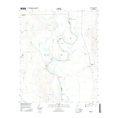
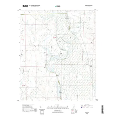
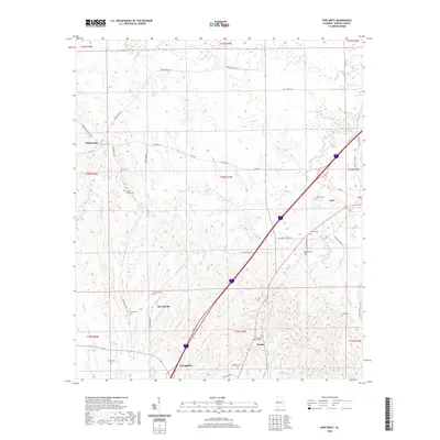
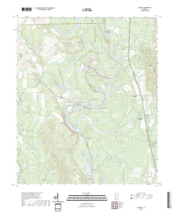
1970 Warsaw
Sumter County, AL
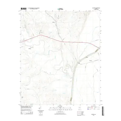
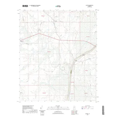
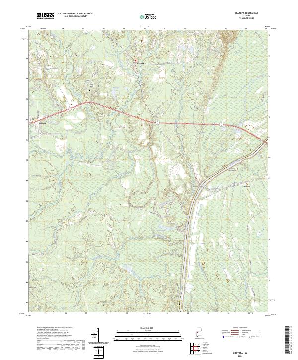
1971 Coatopa
Sumter County, AL
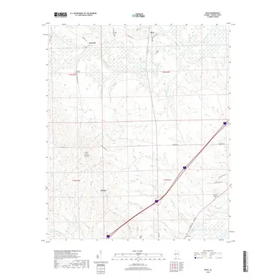
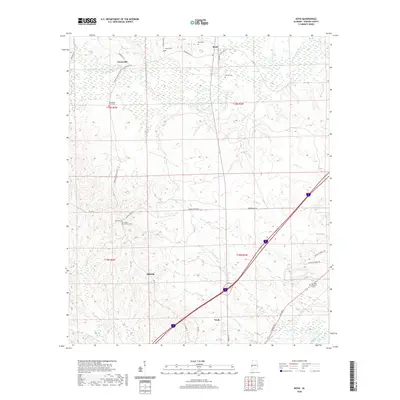
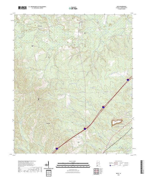
1974 Boyd
Sumter County, AL
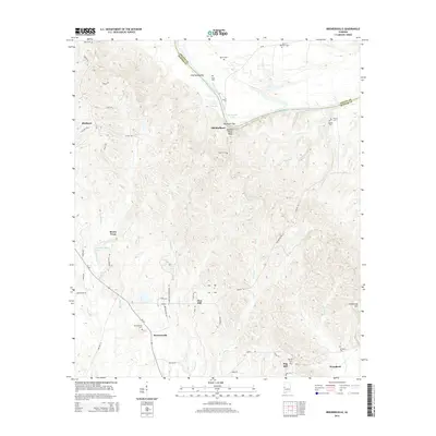
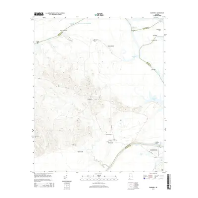
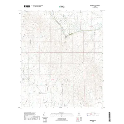
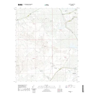
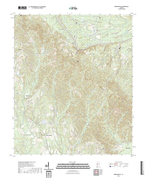
1974 Brewersville
Sumter County, AL
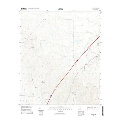
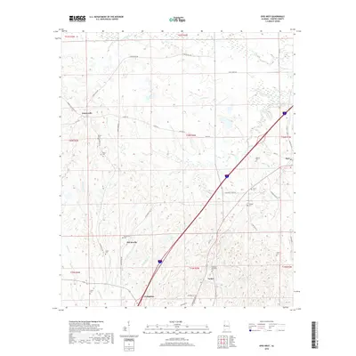
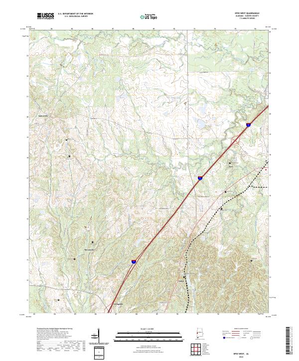
1974 Epes West
Sumter County, AL
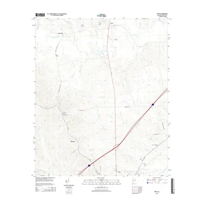
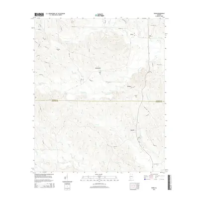
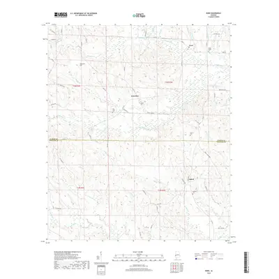
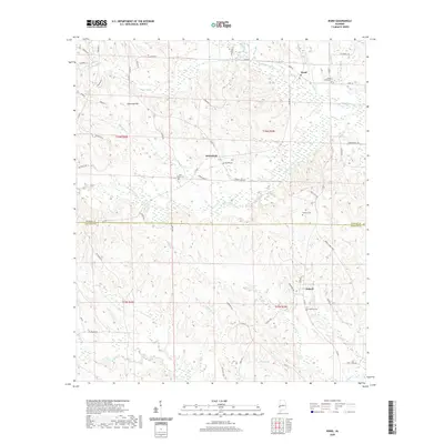
1974 Ward
Sumter County, AL
2011 Boyd
Sumter County, AL
2011 Brewersville
Sumter County, AL
2011 Coatopa
Sumter County, AL
2011 Epes West
Sumter County, AL
2011 McDowell
Sumter County, AL
2011 Ward
Sumter County, AL
2011 Warsaw
Sumter County, AL
2014 Boyd
Sumter County, AL
2014 Brewersville
Sumter County, AL
2014 Coatopa
Sumter County, AL
2014 Epes West
Sumter County, AL
2014 McDowell
Sumter County, AL
2014 Ward
Sumter County, AL
2014 Warsaw
Sumter County, AL
2018 Boyd
Sumter County, AL
2018 Brewersville
Sumter County, AL
2018 Coatopa
Sumter County, AL
2018 Epes West
Sumter County, AL
2018 McDowell
Sumter County, AL
2018 Ward
Sumter County, AL
2018 Warsaw
Sumter County, AL
2020 Boyd
Sumter County, AL

2020 Brewersville
Sumter County, AL
2020 Coatopa
Sumter County, AL
2020 Epes West
Sumter County, AL
2020 McDowell
Sumter County, AL
2020 Ward
Sumter County, AL
2020 Warsaw
Sumter County, AL
2024 Boyd
Sumter County, AL
2024 Brewersville
Sumter County, AL
2024 Coatopa
Sumter County, AL
2024 Epes West
Sumter County, AL
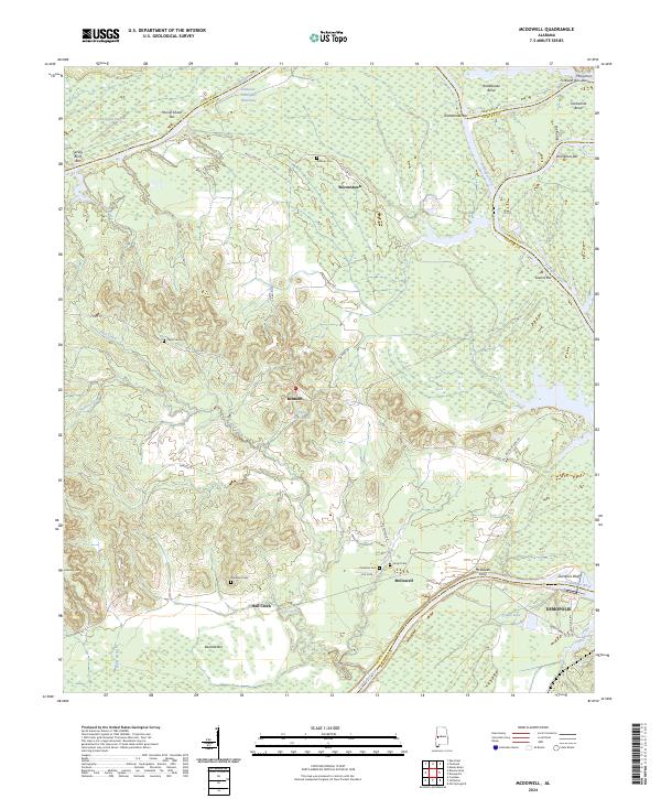
2024 McDowell
Sumter County, AL

2024 Ward
Sumter County, AL
2024 Warsaw
Sumter County, AL