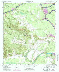
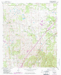
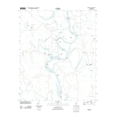
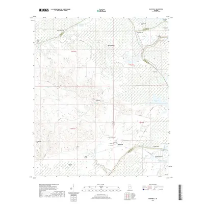
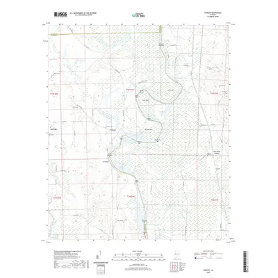
1948 Map of Mc Dowell
USGS Topo · Published 1985About this map
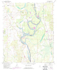
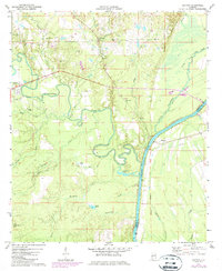
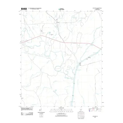
The Tombigbee River forms a winding natural boundary for Sumter and Greene counties, punctuated by the dramatic horseshoe of Twelvemile Bend and the expanding waters of Demopolis Lake. This landscape, documented through surveys in the late 1940s, reveals a community organized around rural schoolhouses and churches. Small settlements like Belmont and McDowell serve as anchors in an area defined by its water access, from the old McDowell Ferry crossing to the riverside terrain of the Demopolis Waterfowl Management Area. Local history is preserved in the numerous family and community landmarks scattered across the hills, including Palestine Cem, Houpt Cem, and Taylor Cem. The presence of the Southern railroad line and various schools like Oak Grove Sch and St Michael Sch indicates a once-active corridor of commerce and education centered near the river's edge.
Find a feature on this map
38 named features on this map. Tap any name to fly to it.
Don’t see what you’re looking for? This feature index may not catch every label — zoom into the map to look around manually.
Map Details
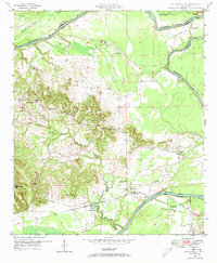
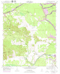
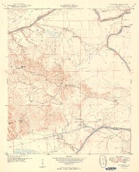
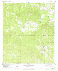
Editions of this 1948 Mc Dowell Map
3 editions found
Historical Maps of Demopolis Through Time
43 maps found
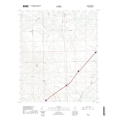
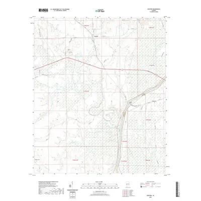
1948 Mc Dowell
Sumter County, AL
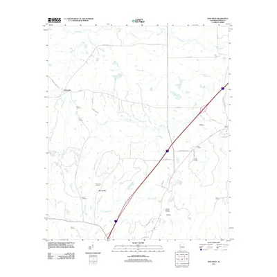
1949 McDowell
Sumter County, AL
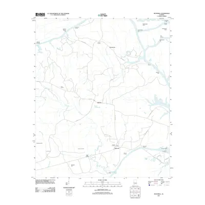
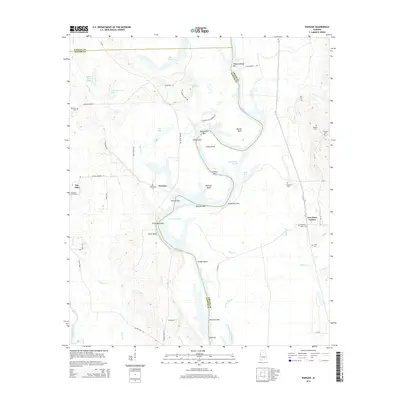
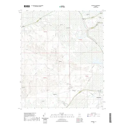
1970 Warsaw
Sumter County, AL
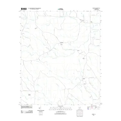
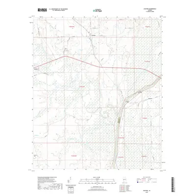
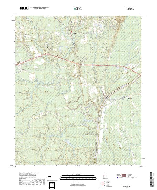
1971 Coatopa
Sumter County, AL
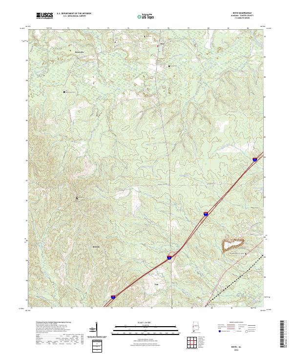
1974 Boyd
Sumter County, AL
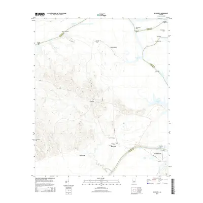
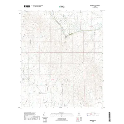
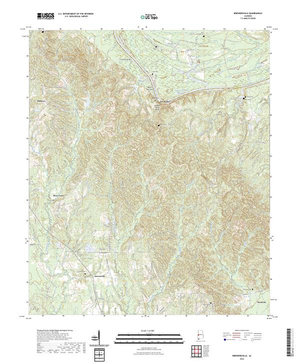
1974 Brewersville
Sumter County, AL
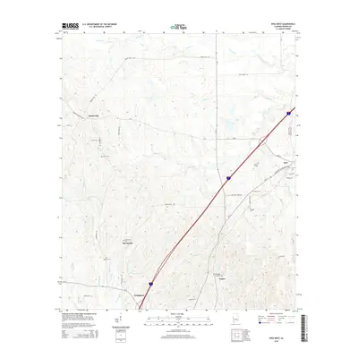
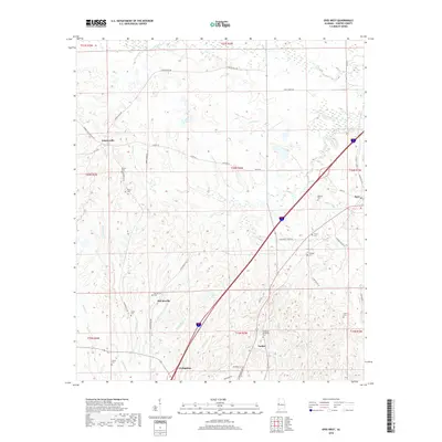
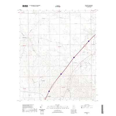
1974 Epes West
Sumter County, AL
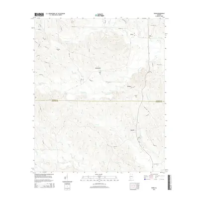
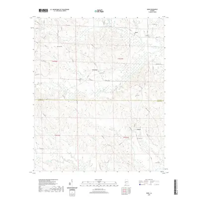
1974 Ward
Sumter County, AL
2011 Boyd
Sumter County, AL
2011 Brewersville
Sumter County, AL
2011 Coatopa
Sumter County, AL
2011 Epes West
Sumter County, AL
2011 McDowell
Sumter County, AL
2011 Ward
Sumter County, AL
2011 Warsaw
Sumter County, AL
2014 Boyd
Sumter County, AL
2014 Brewersville
Sumter County, AL
2014 Coatopa
Sumter County, AL
2014 Epes West
Sumter County, AL
2014 McDowell
Sumter County, AL
2014 Ward
Sumter County, AL
2014 Warsaw
Sumter County, AL
2018 Boyd
Sumter County, AL
2018 Brewersville
Sumter County, AL
2018 Coatopa
Sumter County, AL
2018 Epes West
Sumter County, AL
2018 McDowell
Sumter County, AL
2018 Ward
Sumter County, AL
2018 Warsaw
Sumter County, AL
2020 Boyd
Sumter County, AL

2020 Brewersville
Sumter County, AL
2020 Coatopa
Sumter County, AL
2020 Epes West
Sumter County, AL
2020 McDowell
Sumter County, AL
2020 Ward
Sumter County, AL
2020 Warsaw
Sumter County, AL
2024 Boyd
Sumter County, AL
2024 Brewersville
Sumter County, AL
2024 Coatopa
Sumter County, AL
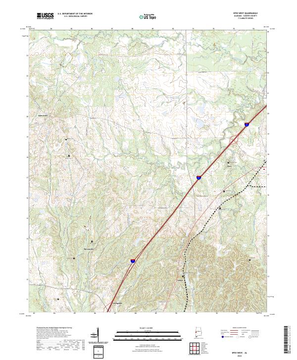
2024 Epes West
Sumter County, AL
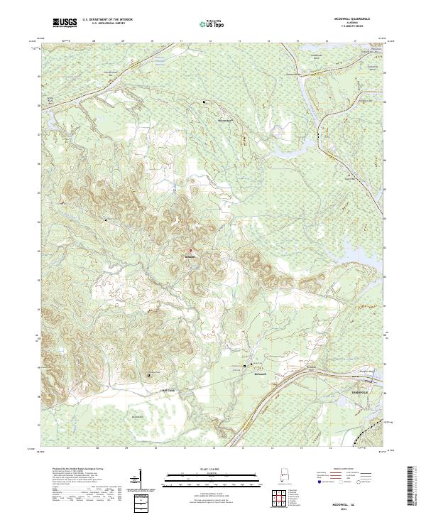
2024 McDowell
Sumter County, AL

2024 Ward
Sumter County, AL
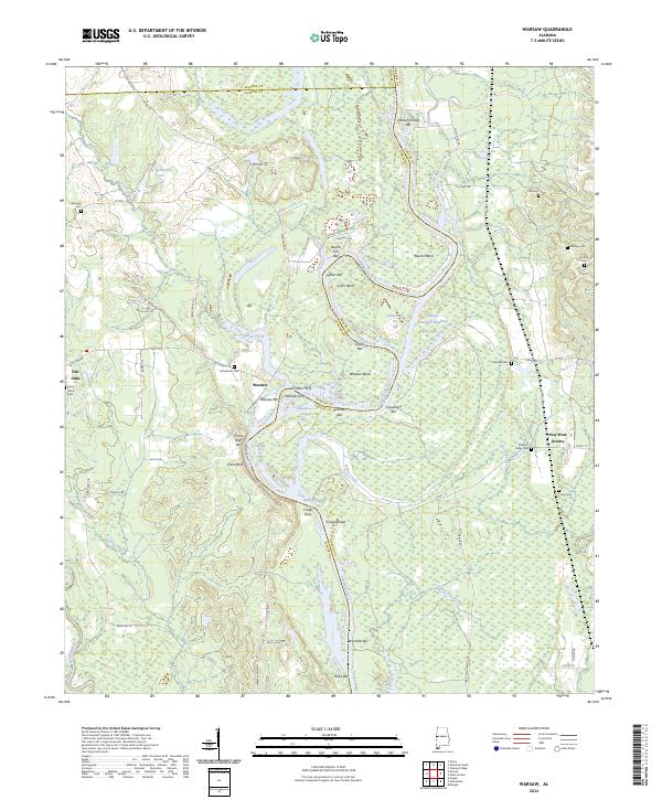
2024 Warsaw
Sumter County, AL