
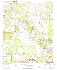
1947 Map of Forkland
USGS Topo · Published 1973About this map
The Tombigbee River forms the southern boundary of this landscape, separating Greene Co from Sumter County in the mid-1940s. The settlement of Forkland serves as a local hub near the river, while the St Louis San Francisco railroad cuts diagonally across the terrain, passing through the Thornhill Sta and Thornhill communities. This era reveals a rural economy deeply tied to the land and water, with features like Derder Landing on the riverbank and the expansive Hagan Swamp defining the drainage patterns of McConnico Creek. Numerous country schools and churches, such as Stonewall Taylor Sch, Watson Sch, and Bethlehem Ch, are scattered throughout the hills, providing valuable data points for genealogists researching family locations in the Alabama Black Belt before modern consolidation changed the rural character of the region.
Find a feature on this map
49 named features on this map. Tap any name to fly to it.
Don’t see what you’re looking for? This feature index may not catch every label — zoom into the map to look around manually.
Map Details
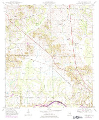
Editions of this 1947 Forkland Map
3 editions found
Other maps of this area

1927 · Eutaw
USGS Topo · 1:48,000

1929 · Epes
USGS Topo · 1:48,000

1931 · Eutaw
USGS Topo · 1:62,500

1932 · Epes
USGS Topo · 1:62,500

1946 · Demopolis
USGS Topo · 1:24,000

1947 · Demopolis
USGS Topo · 1:24,000

1947 · Mason Bend
USGS Topo · 1:24,000

1948 · Mason Bend
USGS Topo · 1:24,000

1948 · Mc Dowell
USGS Topo · 1:24,000

1949 · Mc Dowell
USGS Topo · 1:24,000