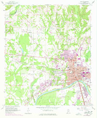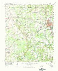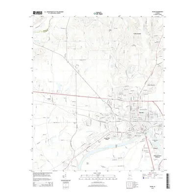
1975 Map of Selma
USGS Topo · Published 1977About this map
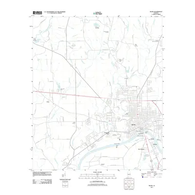
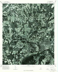
The Alabama River anchors the southern boundary of this orthophotoquad, winding past the dense urban grid of Selma during the mid-1970s. This aerial perspective reveals the sharp contrast between the city's concentrated residential blocks and the expansive agricultural and forested land to the north and west. To the northwest, the smaller settlement of Potter sits within a patchwork of cultivated fields and wooded drainages. Unlike traditional line-drawn maps, this photographically derived survey provides a direct look at the literal ground cover and land use patterns of Dallas County during this era, showing exactly how the landscape was divided between the growing city and its rural surroundings.
Find a feature on this map
3 named features on this map. Tap any name to fly to it.
Don’t see what you’re looking for? This feature index may not catch every label — zoom into the map to look around manually.
Map Details
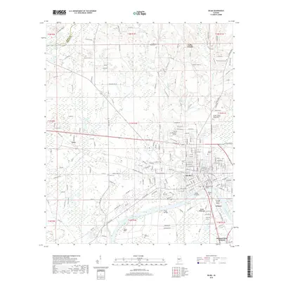
Editions of this 1975 Selma Map
This is the sole edition of this map. No revisions or reprints were ever made.
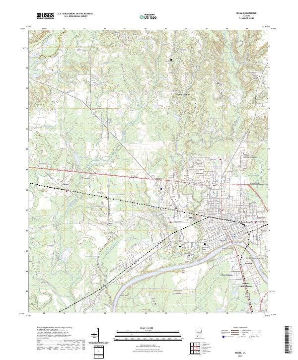
Historical Maps of Selma Through Time
9 maps found