
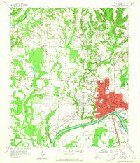
1958 Map of Selma
USGS Topo · Published 1959About this map
Selma sits prominently along a sweeping curve of the Alabama River, serving as a dense urban hub in this late-1950s survey. The city's layout is defined by its educational and civic institutions, including Parrish High Sch, Hudson High Sch, and the Alabama Academy. Beyond the city center, the landscape transitions into a network of outlying communities like Selmont and West Selmont, connected by the Southern and Louisville and Nashville railroads.
Find a feature on this map
74 named features on this map. Tap any name to fly to it.
Don’t see what you’re looking for? This feature index may not catch every label — zoom into the map to look around manually.
Map Details
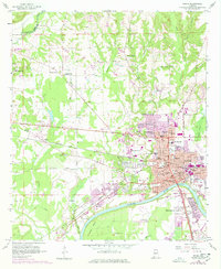
Editions of this 1958 Selma Map
3 editions found
Other maps of this area

1891 · Clanton
USGS Topo · 1:125,000

1953 · Montgomery
USGS Topo · 1:250,000

1956 · Montgomery
USGS Topo · 1:250,000

1957 · Montgomery
USGS Topo · 1:250,000

1957 · Benton
USGS Topo · 1:62,500

1958 · Selma
USGS Topo · 1:62,500

1959 · Plantersville
USGS Topo · 1:62,500

1959 · Summerfield
USGS Topo · 1:62,500

1975 · Selma NW
USGS Topo · 1:24,000

1975 · Summerfield SW
USGS Topo · 1:24,000