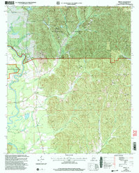
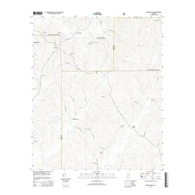
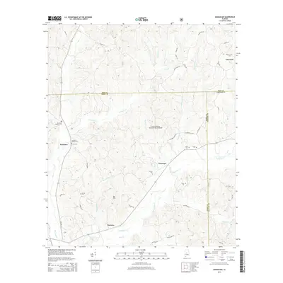
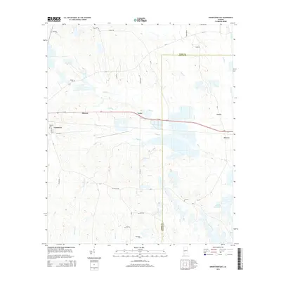
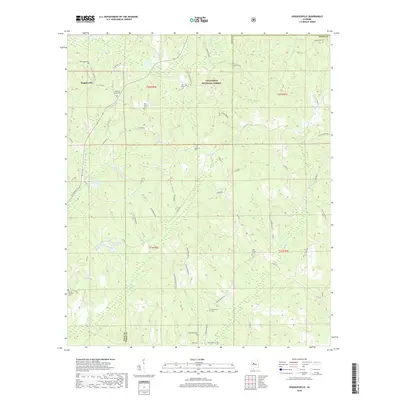
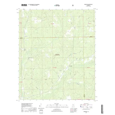
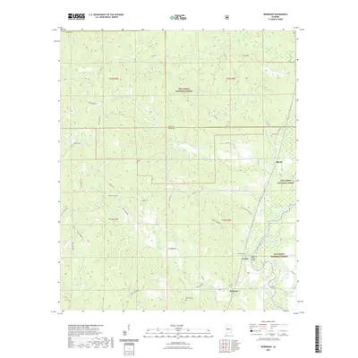
1975 Map of Summerfield SW
USGS Topo · Published 1977About this map
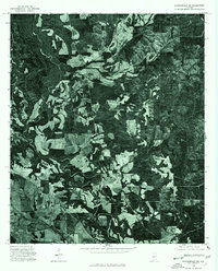
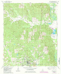
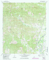
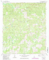
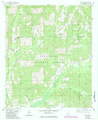
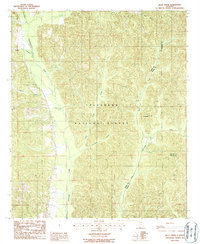
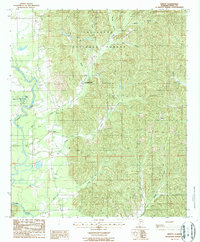
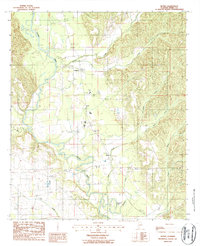
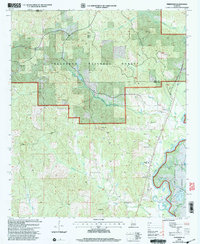
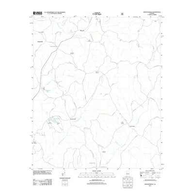
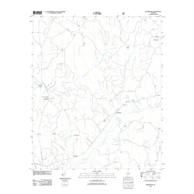
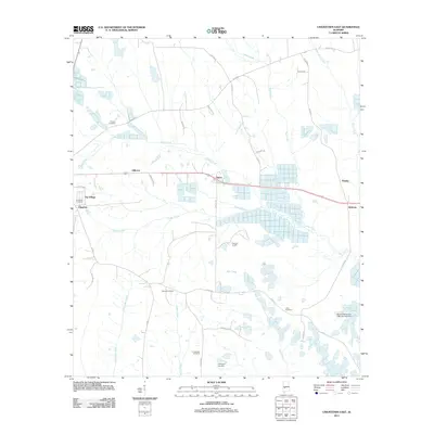
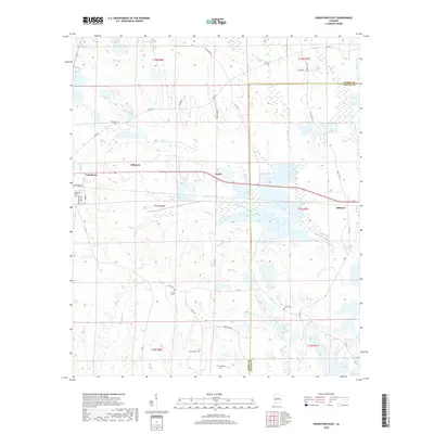
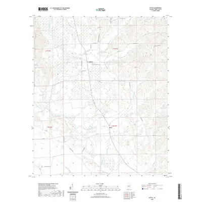
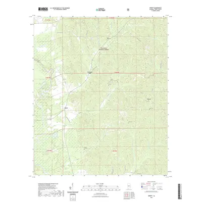
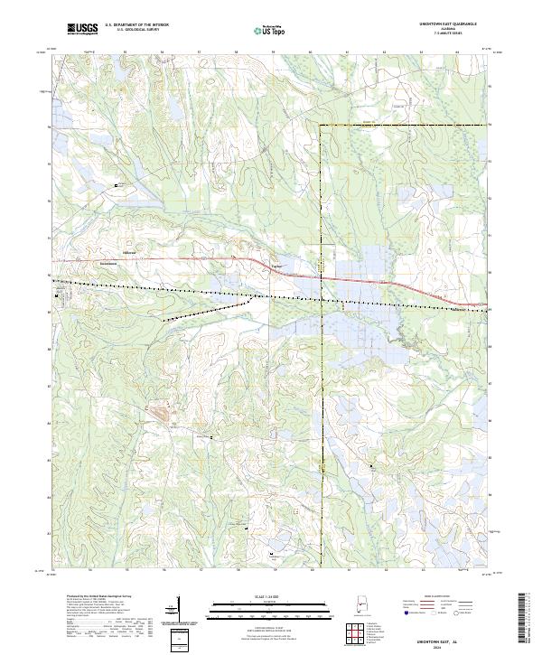
Agricultural clearings and dense woodlands define this 1970s orthophotograph of the Alabama interior. Derived from aerial photography taken in November 1975, the map reveals a landscape characterized by meandering riverbanks and intricate field patterns that dominate the terrain in Ttle. This specific format—an orthophotograph rather than a traditional line-and-symbol topographic map—offers a raw visual record of land use and timber management in this portion of Perry County. The lack of dense urbanization highlights the area's rural character, where the natural watercourses dictate the shape of the large-scale farming and forestry operations that are visible across the quadrangle.
Find a feature on this map
1 named feature on this map. Tap any name to fly to it.
Don’t see what you’re looking for? This feature index may not catch every label — zoom into the map to look around manually.
Map Details
Editions of this 1975 Summerfield SW Map
This is the sole edition of this map. No revisions or reprints were ever made.
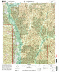
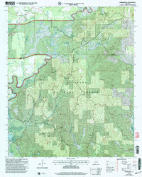
Historical Maps of Suttle Through Time
81 maps found
1959 Summerfield
Perry County, AL
1968 Uniontown East
Perry County, AL
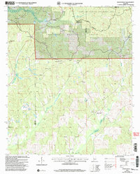
1975 Summerfield SW
Perry County, AL
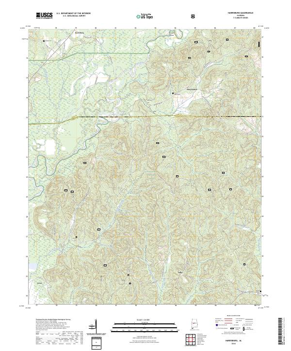
1979 Harrisburg
Perry County, AL
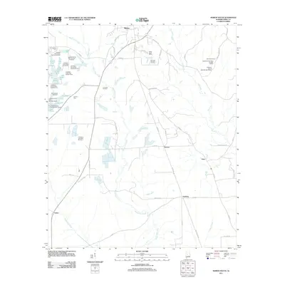
1979 Marion North
Perry County, AL
1979 Marion South
Perry County, AL
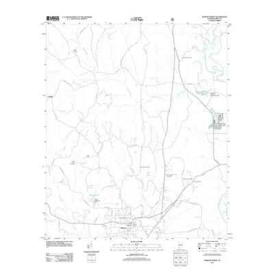
1979 Morgan Springs
Perry County, AL
1979 Scott Station
Perry County, AL
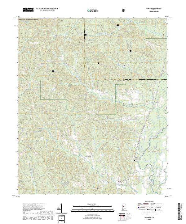
1980 Heiberger
Perry County, AL
1980 Hogglesville
Perry County, AL
1980 Oakmulgee
Perry County, AL
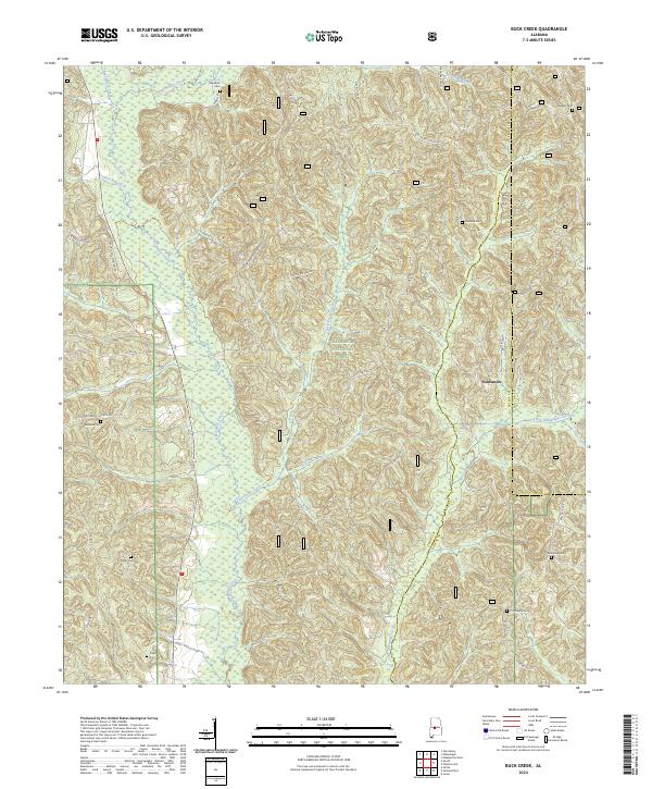
1987 Buck Creek
Perry County, AL
1987 Sprott
Perry County, AL
1987 Suttle
Perry County, AL
2002 Buck Creek
Perry County, AL
2002 Harrisburg
Perry County, AL
2002 Heiberger
Perry County, AL
2002 Hogglesville
Perry County, AL
2002 Marion North
Perry County, AL
2002 Oakmulgee
Perry County, AL
2002 Sprott
Perry County, AL
2011 Buck Creek
Perry County, AL
2011 Harrisburg
Perry County, AL
2011 Heiberger
Perry County, AL
2011 Hogglesville
Perry County, AL
2011 Marion North
Perry County, AL
2011 Marion South
Perry County, AL
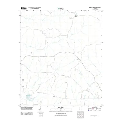
2011 Morgan Springs
Perry County, AL
2011 Oakmulgee
Perry County, AL
2011 Scott Station
Perry County, AL
2011 Sprott
Perry County, AL
2011 Suttle
Perry County, AL
2011 Uniontown East
Perry County, AL
2014 Buck Creek
Perry County, AL
2014 Harrisburg
Perry County, AL
2014 Heiberger
Perry County, AL
2014 Hogglesville
Perry County, AL
2014 Marion North
Perry County, AL
2014 Marion South
Perry County, AL
2014 Morgan Springs
Perry County, AL
2014 Oakmulgee
Perry County, AL
2014 Scott Station
Perry County, AL
2014 Sprott
Perry County, AL
2014 Suttle
Perry County, AL
2014 Uniontown East
Perry County, AL
2018 Buck Creek
Perry County, AL
2018 Harrisburg
Perry County, AL
2018 Heiberger
Perry County, AL
2018 Hogglesville
Perry County, AL
2018 Marion North
Perry County, AL
2018 Marion South
Perry County, AL
2018 Morgan Springs
Perry County, AL
2018 Oakmulgee
Perry County, AL
2018 Scott Station
Perry County, AL
2018 Sprott
Perry County, AL
2018 Suttle
Perry County, AL
2018 Uniontown East
Perry County, AL
2020 Marion South
Perry County, AL
2020 Morgan Springs
Perry County, AL
2020 Scott Station
Perry County, AL
2020 Suttle
Perry County, AL
2020 Uniontown East
Perry County, AL
2021 Buck Creek
Perry County, AL
2021 Harrisburg
Perry County, AL
2021 Heiberger
Perry County, AL
2021 Hogglesville
Perry County, AL
2021 Marion North
Perry County, AL
2021 Oakmulgee
Perry County, AL
2021 Sprott
Perry County, AL
2024 Buck Creek
Perry County, AL
2024 Harrisburg
Perry County, AL
2024 Heiberger
Perry County, AL
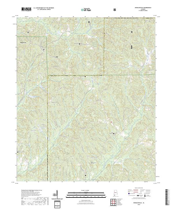
2024 Hogglesville
Perry County, AL
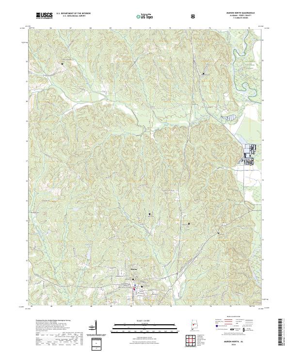
2024 Marion North
Perry County, AL
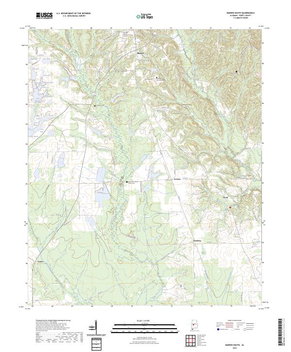
2024 Marion South
Perry County, AL
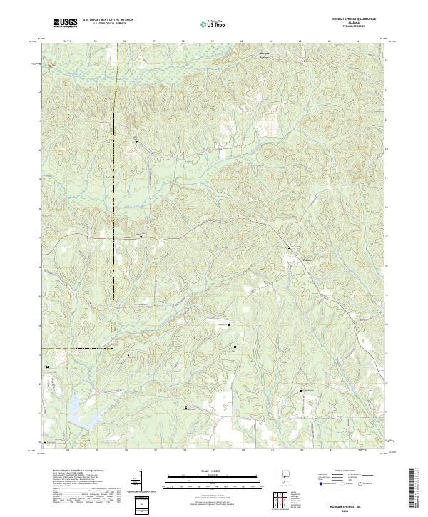
2024 Morgan Springs
Perry County, AL
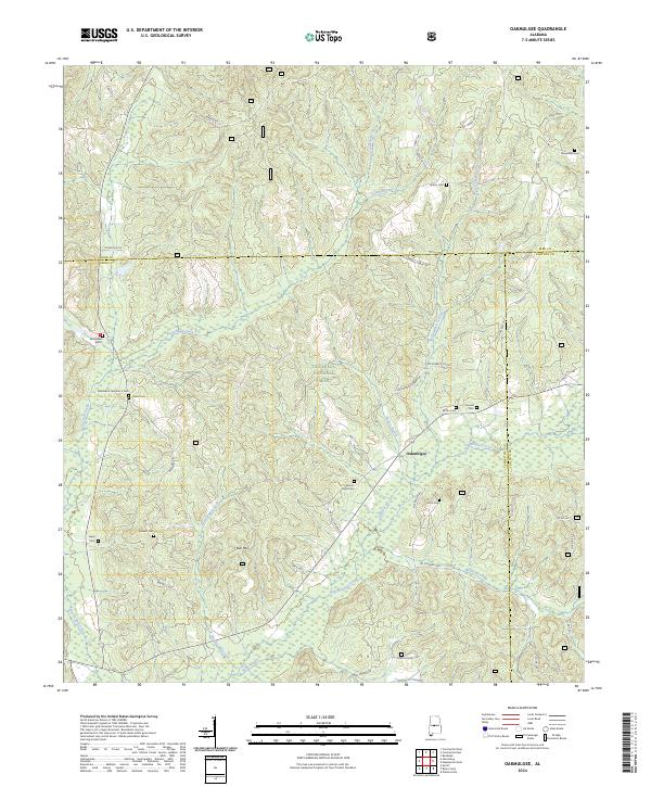
2024 Oakmulgee
Perry County, AL
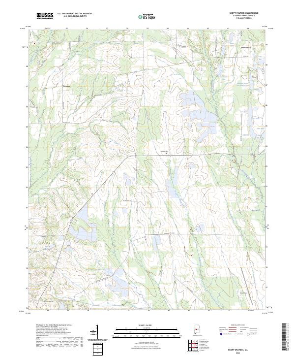
2024 Scott Station
Perry County, AL
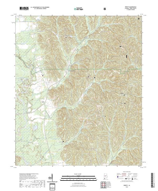
2024 Sprott
Perry County, AL
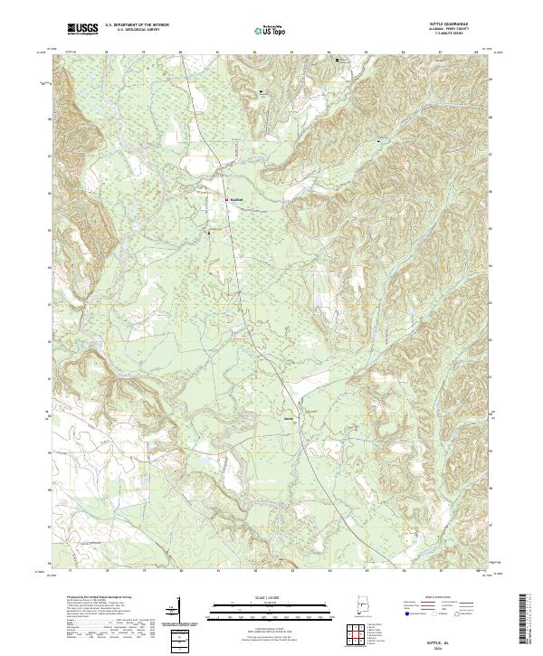
2024 Suttle
Perry County, AL
2024 Uniontown East
Perry County, AL