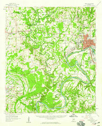
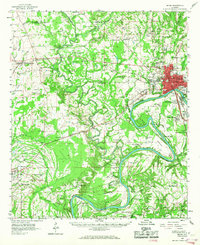
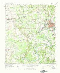
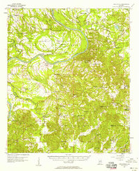
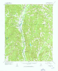
1958 Map of Selma
USGS Topo · Published 1959About this map
The Alabama River and the Cahaba River converge in this mid-century survey of Dallas County, where the city of Selma serves as a major regional hub for transportation and education. The map illustrates a dense landscape of institutional history, featuring Selma University and several historic educational facilities such as Parrish High School and Payne School. To the southeast, the expansive grounds of Craig Air Force Base occupy a significant portion of the river plain, while the Alabama Baptist Hospital stands as a central landmark within the city grid.
Find a feature on this map
111 named features on this map. Tap any name to fly to it.
Don’t see what you’re looking for? This feature index may not catch every label — zoom into the map to look around manually.
Map Details
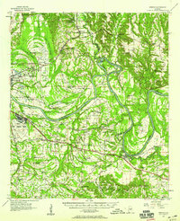
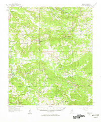
Editions of this 1958 Selma Map
3 editions found
Other maps of this area
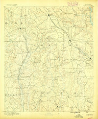
1891 · Clanton
USGS Topo · 1:125,000

1953 · Montgomery
USGS Topo · 1:250,000

1956 · Montgomery
USGS Topo · 1:250,000

1957 · Montgomery
USGS Topo · 1:250,000
1957 · Carlowville
USGS Topo · 1:62,500
1957 · Benton
USGS Topo · 1:62,500
1957 · Braggs
USGS Topo · 1:62,500
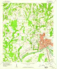
1958 · Selma
USGS Topo · 1:24,000
1959 · Plantersville
USGS Topo · 1:62,500
1959 · Summerfield
USGS Topo · 1:62,500