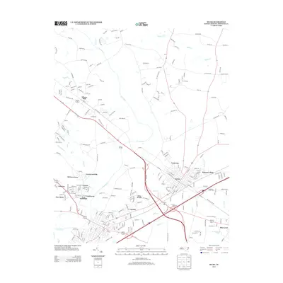
2013 Map of Selma
USGS Topo · Published 2013About this map
Selma serves as the central hub of this Johnston County landscape, where the traditional street grid meets a modern transport network of rail and highway. The settlement pattern shows significant suburban expansion between the Neuse and Buffalo drainage basins, with residential developments like West Smithfield, Fairfield, and Rose Manor filling the spaces between the historic town centers. The Neuse River meanders through the heart of the quadrangle, flanked by established rural communities such as Wilsons Mills and Pine Level.
Find a feature on this map
236 named features on this map. Tap any name to fly to it.
Don’t see what you’re looking for? This feature index may not catch every label — zoom into the map to look around manually.
Map Details
Editions of this 2013 Selma Map
This is the sole edition of this map. No revisions or reprints were ever made.
Other maps of this area

1902 · Kenly
USGS Topo · 1:62,500

1903 · Kenly
USGS Topo · 1:62,500

1906 · Four Oaks
USGS Topo · 1:48,000

1908 · Four Oaks
USGS Topo · 1:62,500

1953 · Raleigh
USGS Topo · 1:250,000

1954 · Raleigh
USGS Topo · 1:250,000

1964 · Flowers
USGS Topo · 1:24,000

1964 · Selma
USGS Topo · 1:62,500

1964 · Clayton
USGS Topo · 1:24,000

1964 · Powhatan
USGS Topo · 1:24,000