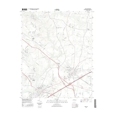
2016 Map of Selma
USGS Topo · Published 2016About this map
Smithfield and Selma serve as the primary hubs in this Johnston County landscape, where the Neuse River winds through a terrain defined by deep-rooted family histories and academic growth. The presence of Johnston Community Coll underscores the region's mid-century educational expansion, while the surrounding countryside is dotted with small family burial grounds like the Henry Cem, Broadwell Cem, and Price Cem. These small plots, often situated near watercourses such as Buffalo Cr and Poplar Cr, provide a genealogical roadmap of the area's early settlers. To the west, the community of Wilsons Mills sits along the rail corridor, while the eastern edge is marked by the expansive W I Rouland Pond and the Crocker Cemeteries, reflecting a transition from the urban centers of West Smithfield to the more rural, pond-dotted eastern reaches.
Find a feature on this map
179 named features on this map. Tap any name to fly to it.
Don’t see what you’re looking for? This feature index may not catch every label — zoom into the map to look around manually.
Map Details
Editions of this 2016 Selma Map
This is the sole edition of this map. No revisions or reprints were ever made.
Other maps of this area

1902 · Kenly
USGS Topo · 1:62,500

1903 · Kenly
USGS Topo · 1:62,500

1906 · Four Oaks
USGS Topo · 1:48,000

1908 · Four Oaks
USGS Topo · 1:62,500

1953 · Raleigh
USGS Topo · 1:250,000

1954 · Raleigh
USGS Topo · 1:250,000

1964 · Flowers
USGS Topo · 1:24,000

1964 · Selma
USGS Topo · 1:62,500

1964 · Clayton
USGS Topo · 1:24,000

1964 · Powhatan
USGS Topo · 1:24,000