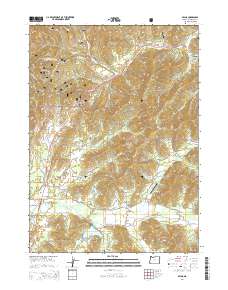
2014 Map of Selma
USGS Topo · Published 2014About this map
Lake Selmac and the surrounding timberlands of the Siskiyou National Forest dominate this landscape in southwest Oregon. The map centers on the Redwood Hwy corridor, which connects the small rural hubs of Selma, Wonder, and Dryden. These settlements are characterized by a mix of forestry, small-scale ranching, and localized infrastructure, as evidenced by several private airstrips including Wonder Airport and Backachers Ranch Airport. Local history is anchored by the Selma Cem and Deer Creek Cem, providing valuable points of interest for genealogical research.
Find a feature on this map
85 named features on this map. Tap any name to fly to it.
Don’t see what you’re looking for? This feature index may not catch every label — zoom into the map to look around manually.
Map Details
Editions of this 2014 Selma Map
This is the sole edition of this map. No revisions or reprints were ever made.
Other maps of this area

1908 · Grants Pass
USGS Topo · 1:125,000

1917 · Kerby
USGS Topo · 1:125,000

1918 · Kerby
USGS Topo · 1:125,000

1945 · Kerby
USGS Topo · 1:125,000

1954 · Cave Junction
USGS Topo · 1:62,500

1954 · Oregon Caves
USGS Topo · 1:62,500

1954 · Selma
USGS Topo · 1:62,500

1954 · Grants Pass
USGS Topo · 1:62,500

1955 · Medford
USGS Topo · 1:250,000

1957 · Medford
USGS Topo · 1:250,000