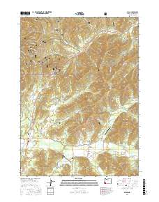
2017 Map of Selma
USGS Topo · Published 2017About this map
Selma and its surrounding rural landscapes in Josephine County appear here during a period of modern forest management and small-scale aviation. The terrain is defined by the northern reaches of the Siskiyou National Forest, where numerous Forest Development Roads such as Nat For Dev Rd 742 and Nat For Dev Rd 306 navigate the timbered ridges. Settlement is clustered along the valley floors, particularly near Lake Selmac and the community of Dryden.
Find a feature on this map
87 named features on this map. Tap any name to fly to it.
Don’t see what you’re looking for? This feature index may not catch every label — zoom into the map to look around manually.
Map Details
Editions of this 2017 Selma Map
This is the sole edition of this map. No revisions or reprints were ever made.
Other maps of this area

1908 · Grants Pass
USGS Topo · 1:125,000

1917 · Kerby
USGS Topo · 1:125,000

1918 · Kerby
USGS Topo · 1:125,000

1945 · Kerby
USGS Topo · 1:125,000

1954 · Cave Junction
USGS Topo · 1:62,500

1954 · Oregon Caves
USGS Topo · 1:62,500

1954 · Selma
USGS Topo · 1:62,500

1954 · Grants Pass
USGS Topo · 1:62,500

1955 · Medford
USGS Topo · 1:250,000

1957 · Medford
USGS Topo · 1:250,000