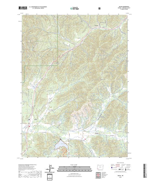
2023 Map of Selma
USGS Topo · Published 2023About this map
Lake Selmac and the surrounding valley communities define this modern topographical study of Josephine County. The settlement of Selma serves as a local hub, flanked by the Selma Cem and the residential corridors along Hogue Dr and Valley Heights Rd. To the east, the rural landscape transitions into the steep terrain of the Siskiyou National Forest, where summits like Wonder Mtn and Hayes Hill Summit overlook a dense network of drainages including Slate Creek and Butcherknife Creek.
Find a feature on this map
77 named features on this map. Tap any name to fly to it.
Don’t see what you’re looking for? This feature index may not catch every label — zoom into the map to look around manually.
Map Details
Editions of this 2023 Selma Map
This is the sole edition of this map. No revisions or reprints were ever made.
Other maps of this area
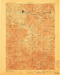
1908 · Grants Pass
USGS Topo · 1:125,000
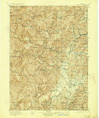
1917 · Kerby
USGS Topo · 1:125,000
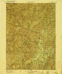
1918 · Kerby
USGS Topo · 1:125,000
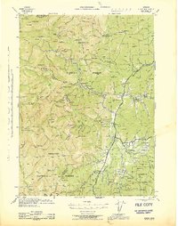
1945 · Kerby
USGS Topo · 1:125,000
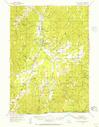
1954 · Cave Junction
USGS Topo · 1:62,500
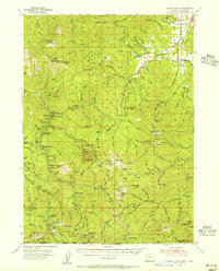
1954 · Oregon Caves
USGS Topo · 1:62,500
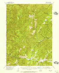
1954 · Selma
USGS Topo · 1:62,500
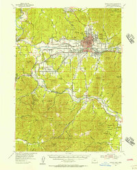
1954 · Grants Pass
USGS Topo · 1:62,500
1955 · Medford
USGS Topo · 1:250,000
1957 · Medford
USGS Topo · 1:250,000