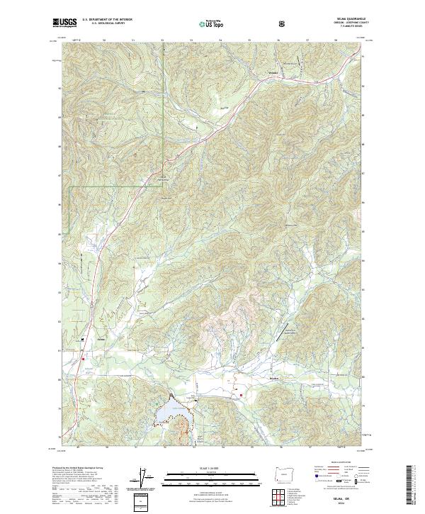
2024 Map of Selma
USGS Topo · Published 2024About this map
Selma, Dryden, and Wonder define the settlement pattern along the US Highway 199 corridor in this southern Oregon landscape. The terrain is characterized by deep drainages and significant summits, most notably Hayes Hill Summit and Wonder Mountain. A significant portion of the western boundary is occupied by the Siskiyou National Forest, while the eastern reaches are defined by a network of creeks and gulches.
Find a feature on this map
82 named features on this map. Tap any name to fly to it.
Don’t see what you’re looking for? This feature index may not catch every label — zoom into the map to look around manually.
Map Details
Editions of this 2024 Selma Map
This is the sole edition of this map. No revisions or reprints were ever made.
Other maps of this area

1908 · Grants Pass
USGS Topo · 1:125,000

1917 · Kerby
USGS Topo · 1:125,000

1918 · Kerby
USGS Topo · 1:125,000

1945 · Kerby
USGS Topo · 1:125,000

1954 · Cave Junction
USGS Topo · 1:62,500

1954 · Oregon Caves
USGS Topo · 1:62,500

1954 · Selma
USGS Topo · 1:62,500

1954 · Grants Pass
USGS Topo · 1:62,500

1955 · Medford
USGS Topo · 1:250,000

1957 · Medford
USGS Topo · 1:250,000