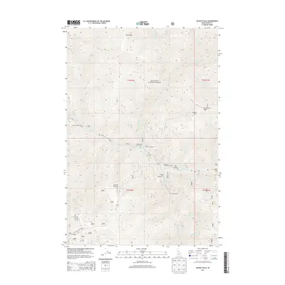
2013 Map of Selway Falls
USGS Topo · Published 2013About this map
The Selway River carves a deep path through this portion of the Nez Perce National Forest, defining the landscape at the confluence of several major drainages. This 2013 survey illustrates a high-elevation backcountry corridor where human presence is primarily seasonal and recreational, evidenced by a string of primitive sites like Glover Campground, Gedney Creek Campground, and Slims Campground along the riverbanks. The namesake Selway Falls serves as a central landmark near the junction of Selway Rd and Falls Point Rd. Moving away from the water, the terrain rises sharply toward Glover Ridge and Timothy Flats, with remote outposts such as Tepee Cabin and the Bear Packer Camp providing rare points of shelter in the high country.
Find a feature on this map
34 named features on this map. Tap any name to fly to it.
Don’t see what you’re looking for? This feature index may not catch every label — zoom into the map to look around manually.
Map Details
Editions of this 2013 Selway Falls Map
This is the sole edition of this map. No revisions or reprints were ever made.
Other maps of this area

1911 · Lolo
USGS Topo · 1:250,000

1913 · Lolo
USGS Topo · 1:250,000

1956 · Elk City
USGS Topo · 1:250,000

1956 · Hamilton
USGS Topo · 1:250,000

1959 · Hamilton
USGS Topo · 1:250,000

1960 · Elk City
USGS Topo · 1:250,000

1960 · Hamilton
USGS Topo · 1:250,000

1964 · Hamilton
USGS Topo · 1:250,000

1966 · Selway Falls
USGS Topo · 1:24,000

1966 · Lick Point
USGS Topo · 1:24,000