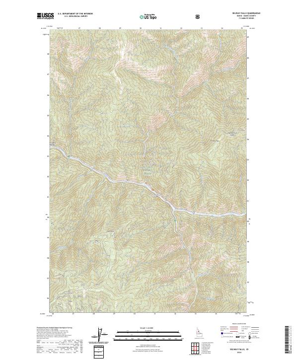
2024 Map of Selway Falls
USGS Topo · Published 2024About this map
The Middle-Fork Clearwater Wild and Scenic River carves through the center of this landscape, where the Selway River meets the iconic Selway Falls. Located within the Nez Perce National Forest, the map details a region defined by sharp elevation changes and deep river canyons. To the east, the boundary of the Selway-Bitterroot Wilderness marks a transition into even more secluded territory. Notable riverfront features like Twentyfive Mile Bar provide specific points of reference along the water's edge, while high-altitude markers such as Falls Point and the Fog Mountain Saddle define the surrounding ridgelines. The intricate network of drainages, including Gedney Creek and Meadow Creek, underscores the complex hydrology of this protected Idaho wilderness area.
Find a feature on this map
28 named features on this map. Tap any name to fly to it.
Don’t see what you’re looking for? This feature index may not catch every label — zoom into the map to look around manually.
Map Details
Editions of this 2024 Selway Falls Map
This is the sole edition of this map. No revisions or reprints were ever made.
Other maps of this area

1911 · Lolo
USGS Topo · 1:250,000

1913 · Lolo
USGS Topo · 1:250,000

1956 · Elk City
USGS Topo · 1:250,000

1956 · Hamilton
USGS Topo · 1:250,000

1959 · Hamilton
USGS Topo · 1:250,000

1960 · Elk City
USGS Topo · 1:250,000

1960 · Hamilton
USGS Topo · 1:250,000

1964 · Hamilton
USGS Topo · 1:250,000

1966 · Selway Falls
USGS Topo · 1:24,000

1966 · Lick Point
USGS Topo · 1:24,000