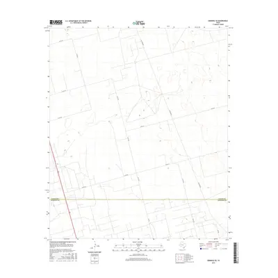
2016 Map of Seminole SE
USGS Topo · Published 2016About this map
The Gaines Co Andrews Co border cuts across this West Texas landscape, marking a transition between the southern High Plains and the Permian Basin. This survey illustrates a rural grid system defined by extensive local routes such as Telephone Rd and Co Rd 405, which facilitate access across the semi-arid terrain. The landscape is characterized by its subtle elevation changes and the presence of scattered depressions and wetlands typical of the region's geography. Modern infrastructure is evident in the network of county roads like Co Rd 426 and Nolley Rd, alongside several secondary highways including Ne 2501 and Ne 3901. This 2016 data provides a precise view of property boundaries and local connectivity at the intersection of these two West Texas counties.
Find a feature on this map
13 named features on this map. Tap any name to fly to it.
Don’t see what you’re looking for? This feature index may not catch every label — zoom into the map to look around manually.
Map Details
Editions of this 2016 Seminole SE Map
This is the sole edition of this map. No revisions or reprints were ever made.
Other maps of this area

1954 · Hobbs
USGS Topo · 1:250,000

1958 · Hobbs
USGS Topo · 1:250,000

1969 · Seminole SW
USGS Topo · 1:24,000

1970 · Seminole NE
USGS Topo · 1:24,000

1970 · Cedar Point Ranch
USGS Topo · 1:24,000

1970 · McKenzie Lake NW
USGS Topo · 1:24,000

1970 · Seminole SE
USGS Topo · 1:24,000

1970 · Seminole
USGS Topo · 1:24,000

1971 · Five Wells Ranch NW
USGS Topo · 1:24,000

1971 · Florey
USGS Topo · 1:24,000