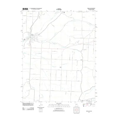
2012 Map of Seneca
USGS Topo · Published 2012About this map
Seneca occupies the northwestern corner of this study, positioned near the state line and serving as the primary hub for the surrounding landscape. The town's grid and development contrast with the rural expanses of West Seneca and the smaller clusters at Wela Park, Dessa, and May. The drainage patterns are defined by the winding paths of Lost Creek and its tributary, Little Lost Creek, which cut through the terrain alongside other significant watercourses like Buffalo Creek and Sycamore Creek. These waterways helped shape the early settlement patterns and subsequent road networks in the area.
Find a feature on this map
76 named features on this map. Tap any name to fly to it.
Don’t see what you’re looking for? This feature index may not catch every label — zoom into the map to look around manually.
Map Details
Editions of this 2012 Seneca Map
This is the sole edition of this map. No revisions or reprints were ever made.
Other maps of this area

1907 · Wyandotte
USGS Topo · 1:125,000

1909 · Wyandotte
USGS Topo · 1:125,000

1916 · Neosho
USGS Topo · 1:62,500

1940 · Noel
USGS Topo · 1:62,500

1943 · Noel
USGS Topo · 1:62,500

1949 · Seneca
USGS Topo · 1:24,000

1949 · Racine
USGS Topo · 1:24,000

1950 · Seneca
USGS Topo · 1:24,000

1950 · Racine
USGS Topo · 1:24,000

1954 · Tulsa
USGS Topo · 1:250,000