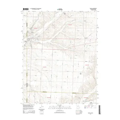
2015 Map of Seneca
USGS Topo · Published 2015About this map
Seneca occupies the intersection of several county and state lines, sitting at the junction of the Ottawa Co Newton Co border where Oklahoma meets Missouri. The landscape is defined by the drainages of Lost Cr and Sycamore Cr, which carve through the terrain to the north and south of the town center. The settlement patterns follow these watercourses and the local road network, with residential clusters at Westview and the crossroads at Dessa.
Find a feature on this map
97 named features on this map. Tap any name to fly to it.
Don’t see what you’re looking for? This feature index may not catch every label — zoom into the map to look around manually.
Map Details
Editions of this 2015 Seneca Map
This is the sole edition of this map. No revisions or reprints were ever made.
Other maps of this area

1907 · Wyandotte
USGS Topo · 1:125,000

1909 · Wyandotte
USGS Topo · 1:125,000

1916 · Neosho
USGS Topo · 1:62,500

1940 · Noel
USGS Topo · 1:62,500

1943 · Noel
USGS Topo · 1:62,500

1949 · Seneca
USGS Topo · 1:24,000

1949 · Racine
USGS Topo · 1:24,000

1950 · Seneca
USGS Topo · 1:24,000

1950 · Racine
USGS Topo · 1:24,000

1954 · Tulsa
USGS Topo · 1:250,000