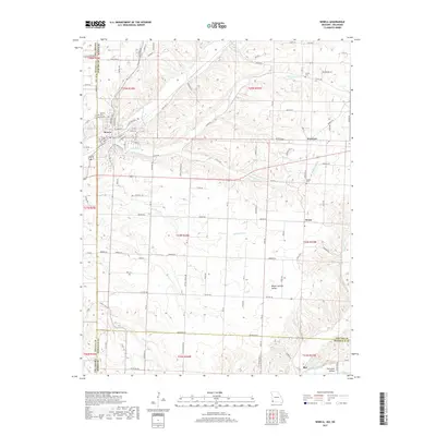
2017 Map of Seneca
USGS Topo · Published 2017About this map
Seneca straddles the border between Missouri and Oklahoma, serving as a primary hub for this corner of Newton County. The town is marked by its grid of streets, including several named after railroads like Frisco St and Neosho St, reflecting the transportation history of the region. Nearby, the landscape transitions into the hills and valleys of the Ozarks, characterized by drainage systems like Lost Cr and its tributaries.
Find a feature on this map
114 named features on this map. Tap any name to fly to it.
Don’t see what you’re looking for? This feature index may not catch every label — zoom into the map to look around manually.
Map Details
Editions of this 2017 Seneca Map
This is the sole edition of this map. No revisions or reprints were ever made.
Other maps of this area

1907 · Wyandotte
USGS Topo · 1:125,000

1909 · Wyandotte
USGS Topo · 1:125,000

1916 · Neosho
USGS Topo · 1:62,500

1940 · Noel
USGS Topo · 1:62,500

1943 · Noel
USGS Topo · 1:62,500

1949 · Seneca
USGS Topo · 1:24,000

1949 · Racine
USGS Topo · 1:24,000

1950 · Seneca
USGS Topo · 1:24,000

1950 · Racine
USGS Topo · 1:24,000

1954 · Tulsa
USGS Topo · 1:250,000