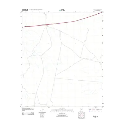
2011 Map of Sentinel
USGS Topo · Published 2011About this map
Sentinel serves as the primary landmark in this desert landscape, situated along a vital transportation corridor in southwestern Maricopa County. The 2011 survey documents the layout of modern infrastructure intersecting with older surface routes, most notably where the Sentinel Interchange connects the main highway with Agua Caliente Rd. To the south, the terrain is traversed by S Agua Caliente Rd, while Oatman Rd extends northward, tracing the arid paths that have long defined travel through this region. The map illustrates a landscape of high-speed transit and local desert tracks, providing a record of how remote desert outposts like Sentinel remain anchored by their road networks.
Find a feature on this map
5 named features on this map. Tap any name to fly to it.
Don’t see what you’re looking for? This feature index may not catch every label — zoom into the map to look around manually.
Map Details
Editions of this 2011 Sentinel Map
This is the sole edition of this map. No revisions or reprints were ever made.
Other maps of this area

1927 · Aguila Mountains
USGS Topo · 1:48,000

1929 · Aztec
USGS Topo · 1:62,500

1930 · Aguila Mountains
USGS Topo · 1:62,500

1949 · Sentinel
USGS Topo · 1:62,500

1950 · Sentinel
USGS Topo · 1:62,500

1950 · Aztec
USGS Topo · 1:62,500

1953 · Ajo
USGS Topo · 1:250,000

1957 · Ajo
USGS Topo · 1:250,000

1958 · Ajo
USGS Topo · 1:250,000

1962 · Ajo
USGS Topo · 1:250,000