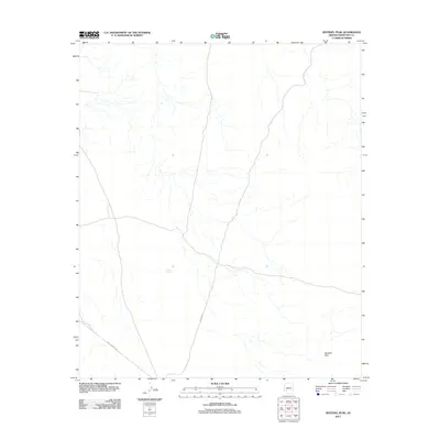
2011 Map of Sentinel Peak
USGS Topo · Published 2011About this map
Sentinel Peak defines the lower-right quadrant of this high-desert landscape in Maricopa County. The terrain is crisscrossed by arid drainage networks that converge into broader ephemeral channels, reflecting a land defined by seasonal water flow. Human activity is marked primarily by foundational transit routes, including Agua Caliente Rd in the southwest and the winding path of Oatman Rd. A single water catchment, Kennedy Tank, stands as a solitary navigational and resource marker in the central portion of the sheet. The layout of these desert tracks suggests a corridor used more for movement and ranching support than for permanent settlement during this era, maintaining the area's character as a wide-open transit zone.
Find a feature on this map
4 named features on this map. Tap any name to fly to it.
Don’t see what you’re looking for? This feature index may not catch every label — zoom into the map to look around manually.
Map Details
Editions of this 2011 Sentinel Peak Map
This is the sole edition of this map. No revisions or reprints were ever made.
Other maps of this area

1927 · Hyder
USGS Topo · 1:62,500

1929 · Aztec
USGS Topo · 1:62,500

1930 · Hyder
USGS Topo · 1:62,500

1942 · Vicksburg
USGS Topo · 1:250,000

1949 · Sentinel
USGS Topo · 1:62,500

1950 · Sentinel
USGS Topo · 1:62,500

1950 · Aztec
USGS Topo · 1:62,500

1951 · Dendora Valley
USGS Topo · 1:62,500

1953 · Ajo
USGS Topo · 1:250,000

1954 · Phoenix
USGS Topo · 1:250,000