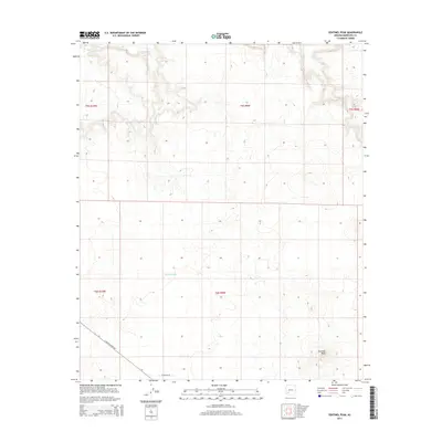
2014 Map of Sentinel Peak
USGS Topo · Published 2014About this map
Sentinel Peak rises as the prominent topographic landmark in this arid stretch of the Arizona desert during the early twenty-first century. The northern edge of the map follows the course of the Gila River, a vital water source that has historically dictated the settlement and movement patterns of the region. Transportation across the landscape is limited to primary corridors like S Agua Caliente Rd and W Oatman Rd, which cut through the vast public land survey sections. Small, localized water catchments like Kennedy Tank serve as critical points for cattle and wildlife in an otherwise dry environment. The map details the transition from the river valley into the higher, desert-scrub terrain, reflecting the sparse but functional infrastructure of Maricopa County's remote southwestern reaches.
Find a feature on this map
10 named features on this map. Tap any name to fly to it.
Don’t see what you’re looking for? This feature index may not catch every label — zoom into the map to look around manually.
Map Details
Editions of this 2014 Sentinel Peak Map
This is the sole edition of this map. No revisions or reprints were ever made.
Other maps of this area

1927 · Hyder
USGS Topo · 1:62,500

1929 · Aztec
USGS Topo · 1:62,500

1930 · Hyder
USGS Topo · 1:62,500

1942 · Vicksburg
USGS Topo · 1:250,000

1949 · Sentinel
USGS Topo · 1:62,500

1950 · Sentinel
USGS Topo · 1:62,500

1950 · Aztec
USGS Topo · 1:62,500

1951 · Dendora Valley
USGS Topo · 1:62,500

1953 · Ajo
USGS Topo · 1:250,000

1954 · Phoenix
USGS Topo · 1:250,000