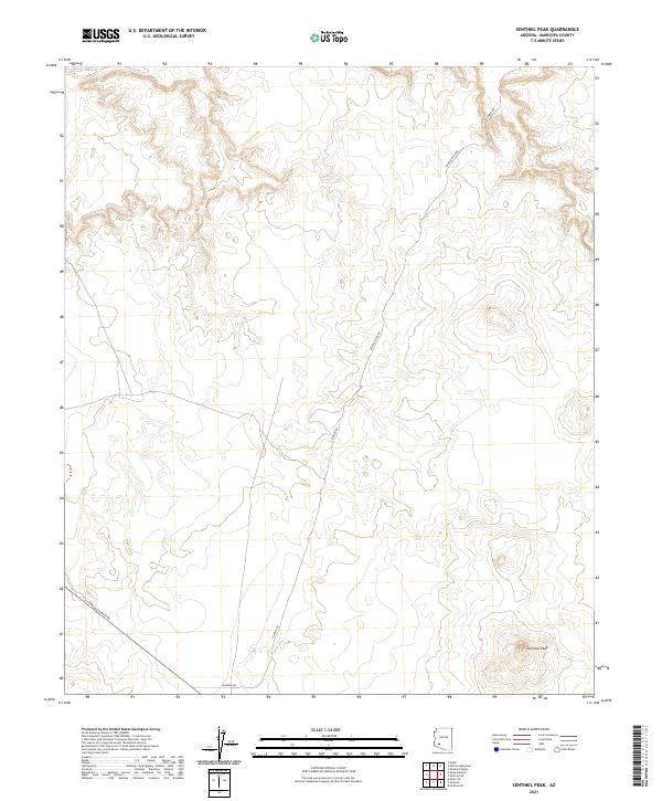
2021 Map of Sentinel Peak
USGS Topo · Published 2021About this map
Sentinel Peak rises as the primary landmark in this corner of Maricopa County, anchoring a landscape shaped by vast township and range divisions. The terrain is traversed by several significant corridors including Oatman Rd, S Oatman Rd, and Painted Rock Rd, which reflect the historic transit patterns across the desert. These routes, alongside S Agua Caliente Rd, suggest the long-standing importance of these desert passages for regional connectivity. The map primarily documents the geometric precision of the Public Land Survey System, illustrating how boundaries like t5s r9w and t6s r9w organized the territory into a structured grid. This 2021 study by the U.S. Geological Survey provides a detailed record of the physical relief and existing road network, serving as a modern reference for the enduring geography of the Arizona desert.
Find a feature on this map
11 named features on this map. Tap any name to fly to it.
Don’t see what you’re looking for? This feature index may not catch every label — zoom into the map to look around manually.
Map Details
Editions of this 2021 Sentinel Peak Map
This is the sole edition of this map. No revisions or reprints were ever made.
Other maps of this area

1927 · Hyder
USGS Topo · 1:62,500

1929 · Aztec
USGS Topo · 1:62,500

1930 · Hyder
USGS Topo · 1:62,500

1942 · Vicksburg
USGS Topo · 1:250,000

1949 · Sentinel
USGS Topo · 1:62,500

1950 · Sentinel
USGS Topo · 1:62,500

1950 · Aztec
USGS Topo · 1:62,500

1951 · Dendora Valley
USGS Topo · 1:62,500

1953 · Ajo
USGS Topo · 1:250,000

1954 · Phoenix
USGS Topo · 1:250,000