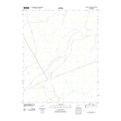
2010 Map of Sentinel Peak SW
USGS Topo · Published 2010About this map
Mancos River winds through the southern reaches of this landscape, anchoring a network of ephemeral drainages and essential transport routes. The terrain is defined by its seasonal watercourses, with the prominent Cowboy Wash and Aztec Wash carving paths across the open country. These natural features dictated the placement of local infrastructure, including a series of numbered transit arteries such as Indian Rte-237, Indian Rte-232, and Indian Rte-239. These roads provide a window into the land management and connectivity patterns of the early 21st century. The proximity of Indian Service Route 5029 to the river corridor underscores the historical and practical importance of water access in this corner of Colorado.
Find a feature on this map
7 named features on this map. Tap any name to fly to it.
Don’t see what you’re looking for? This feature index may not catch every label — zoom into the map to look around manually.
Map Details
Editions of this 2010 Sentinel Peak SW Map
This is the sole edition of this map. No revisions or reprints were ever made.
Other maps of this area

1886 · Abajo
USGS Topo · 1:250,000

1889 · Chaco
USGS Topo · 1:250,000

1892 · Abajo
USGS Topo · 1:250,000

1892 · Chaco
USGS Topo · 1:250,000

1892 · Canyon De Chelly
USGS Topo · 1:250,000

1893 · Abajo
USGS Topo · 1:250,000

1934 · Rattlesnake
USGS Topo · 1:62,500

1937 · Rattlesnake
USGS Topo · 1:62,500

1953 · Pastora Peak NE
USGS Topo · 1:24,000

1953 · Pastora Peak
USGS Topo · 1:62,500