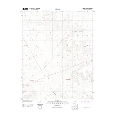
2013 Map of Sentinel Peak SW
USGS Topo · Published 2013About this map
The Mancos River meanders through the southern portion of this high-desert landscape in Montezuma County, carving a path through the arid terrain alongside ephemeral drainage systems. These intermittent waterways, including the winding Cowboy Wash and its southeastern neighbor Aztec Wash, define the natural irrigation and erosion patterns of this corner of Colorado. The map reveals a specific infrastructure network developed to navigate this environment, highlighted by a series of dedicated access roads such as Indian Rte-237, Indian Rte-239, and Indian Service Route 29. These routes, along with major thoroughfares like Us-160 and Co-41, underscore the area's role as a transit corridor between tribal lands and regional centers, showing how modern transportation follows the logic of the landscape's primary washes and riverbeds.
Find a feature on this map
13 named features on this map. Tap any name to fly to it.
Don’t see what you’re looking for? This feature index may not catch every label — zoom into the map to look around manually.
Map Details
Editions of this 2013 Sentinel Peak SW Map
This is the sole edition of this map. No revisions or reprints were ever made.
Other maps of this area

1886 · Abajo
USGS Topo · 1:250,000

1889 · Chaco
USGS Topo · 1:250,000

1892 · Abajo
USGS Topo · 1:250,000

1892 · Chaco
USGS Topo · 1:250,000

1892 · Canyon De Chelly
USGS Topo · 1:250,000

1893 · Abajo
USGS Topo · 1:250,000

1934 · Rattlesnake
USGS Topo · 1:62,500

1937 · Rattlesnake
USGS Topo · 1:62,500

1953 · Pastora Peak NE
USGS Topo · 1:24,000

1953 · Pastora Peak
USGS Topo · 1:62,500