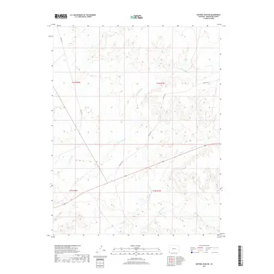
2019 Map of Sentinel Peak SW
USGS Topo · Published 2019About this map
Mancos River flows through the southern reach of this arid landscape in Montezuma County, cutting a course through the high desert plateau. The terrain is defined by its drainage network, where the seasonal waters of Cowboy Wash and Aztec Wash have carved intricate relief into the land. This 2019 survey documents the modern layout of local infrastructure within the Ute Mountain Reservation, most notably Indian Rte 232 and Indian Rte 237, which serve as the primary conduits for travel through these remote townships. The map provides a clear view of the complex topography and the spatial relationship between the river valley and the surrounding high ground, illustrating the intersection of natural hydrology and established tribal routes.
Find a feature on this map
9 named features on this map. Tap any name to fly to it.
Don’t see what you’re looking for? This feature index may not catch every label — zoom into the map to look around manually.
Map Details
Editions of this 2019 Sentinel Peak SW Map
This is the sole edition of this map. No revisions or reprints were ever made.
Other maps of this area

1886 · Abajo
USGS Topo · 1:250,000

1889 · Chaco
USGS Topo · 1:250,000

1892 · Abajo
USGS Topo · 1:250,000

1892 · Chaco
USGS Topo · 1:250,000

1892 · Canyon De Chelly
USGS Topo · 1:250,000

1893 · Abajo
USGS Topo · 1:250,000

1934 · Rattlesnake
USGS Topo · 1:62,500

1937 · Rattlesnake
USGS Topo · 1:62,500

1953 · Pastora Peak NE
USGS Topo · 1:24,000

1953 · Pastora Peak
USGS Topo · 1:62,500