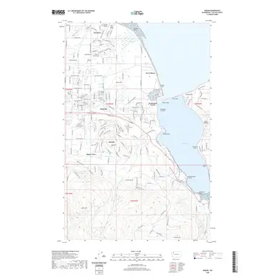
2020 Map of Sequim
USGS Topo · Published 2020About this map
Sequim sits at the heart of this coastal Olympic Peninsula landscape, surrounded by a transition from the level terrain of Sequim Prairie to the rising elevations of Bell Hill and Burnt Hill to the south. Along the shoreline, the map details the complex geography of Sequim Bay and Washington Harbor, defined by narrow landforms like Travis Spit and Gibson Spit. These features protect the interior waters of Paradise Cove and The Middle Ground, while the coastal settlement of Port Williams and the community of Jamestown reflect the area's long maritime and tribal history. Inland, the map reveals a well-developed grid of local roads and farm tracts, interspersed with drainage features like Gierin Cr and Cassalery Cr that flow toward the Strait. Local landmarks such as the Sequim View Cem and the residential pockets in Happy Valley provide specific points of interest for genealogical and local history research.
Find a feature on this map
171 named features on this map. Tap any name to fly to it.
Don’t see what you’re looking for? This feature index may not catch every label — zoom into the map to look around manually.
Map Details
Editions of this 2020 Sequim Map
This is the sole edition of this map. No revisions or reprints were ever made.
Other maps of this area

1938 · Mt Constance
USGS Topo · 1:125,000

1938 · Dungeness
USGS Topo · 1:62,500

1939 · Port Townsend
USGS Topo · 1:62,500

1939 · Dungeness
USGS Topo · 1:62,500

1940 · Quilcene
USGS Topo · 1:62,500

1946 · Tyler Peak
USGS Topo · 1:62,500

1948 · Tyler Peak
USGS Topo · 1:62,500
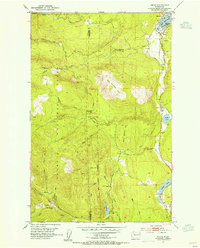
1953 · Uncas
USGS Topo · 1:24,000
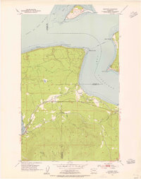
1953 · Gardiner
USGS Topo · 1:24,000

1956 · Sequim
USGS Topo · 1:24,000