
1956 Map of Sequim
USGS Topo · Published 1957About this map
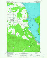
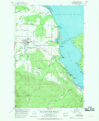
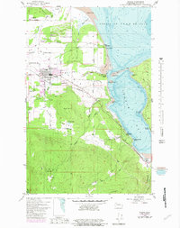
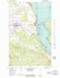
Sequim serves as the central hub in this mid-century coastal landscape, where the agricultural flats of the Dungeness Valley meet the waters of the Strait of Juan de Fuca. The area's water management is evident through a complex system of flumes, ditches, and a siphon that redirect water from the Dungeness River across the valley to support the local farms. To the south, the terrain rises sharply into the timbered slopes of Burnt Hill and Lookout Hill, while the shoreline is defined by the elongated reaches of Gibson Spit and Travis Spit, which nearly enclose Washington Harbor.
Find a feature on this map
72 named features on this map. Tap any name to fly to it.
Don’t see what you’re looking for? This feature index may not catch every label — zoom into the map to look around manually.
Map Details
Editions of this 1956 Sequim Map
5 editions found
Other maps of this area

1938 · Mt Constance
USGS Topo · 1:125,000

1938 · Dungeness
USGS Topo · 1:62,500

1939 · Port Townsend
USGS Topo · 1:62,500

1939 · Dungeness
USGS Topo · 1:62,500

1940 · Quilcene
USGS Topo · 1:62,500

1946 · Tyler Peak
USGS Topo · 1:62,500

1948 · Tyler Peak
USGS Topo · 1:62,500
1953 · Uncas
USGS Topo · 1:24,000
1953 · Gardiner
USGS Topo · 1:24,000
1956 · Carlsborg
USGS Topo · 1:24,000