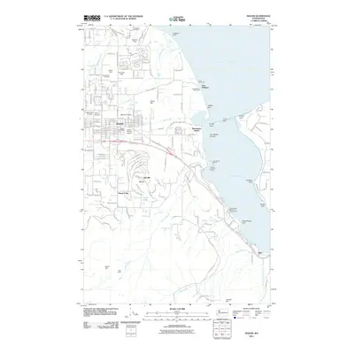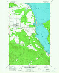
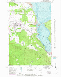
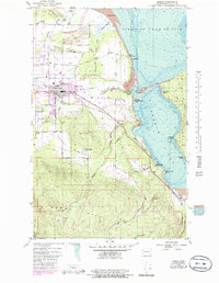
1956 Map of Sequim
USGS Topo · Published 1965About this map
Sequim is the center of this mid-century coastal survey, situated between the foothills of Burnt Hill and the waters of Sequim Bay. The landscape reveals a complex network of agricultural and industrial infrastructure, including a long irrigation flume and the Chicago Milwaukee St Paul and Pacific rail line cutting across the valley. Along the shoreline of the Strait of Juan de Fuca, the map identifies the Port Williams (Site) and recreational areas like Camp Tapawingo and the Duck Club. To the south, the terrain rises sharply towards Bell Hill and Happy Valley, while the eastern edge is defined by the Miller Peninsula. Local history is preserved through the locations of the Jamestown Cemetery and Sequim Valley Cemetery, alongside smaller settlements like Blyn and Grennan.
Find a feature on this map
58 named features on this map. Tap any name to fly to it.
Don’t see what you’re looking for? This feature index may not catch every label — zoom into the map to look around manually.
Map Details
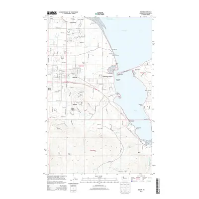
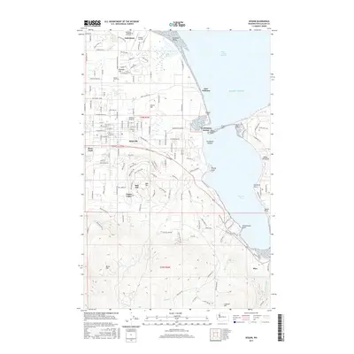
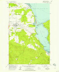
Editions of this 1956 Sequim Map
5 editions found
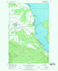
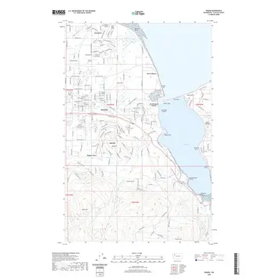
Historical Maps of Sequim Through Time
6 maps found