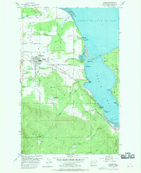
1956 Map of Sequim
USGS Topo · Published 1970About this map
Sequim Prairie and the surrounding agricultural landscape are defined by a complex network of water management features, including a prominent Flume and Ditch system that supports the local topography. The town of Sequim serves as the inland hub, connected to the maritime activity of Sequim Bay by the Chicago Milwaukee St Paul and Pacific rail line. Along the shoreline, the map identifies specific coastal points such as Klapot Point and the distinctive Travis Spit, alongside the former location of Port Williams.
Find a feature on this map
64 named features on this map. Tap any name to fly to it.
Don’t see what you’re looking for? This feature index may not catch every label — zoom into the map to look around manually.
Map Details
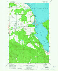
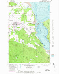
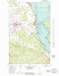
Editions of this 1956 Sequim Map
5 editions found
Other maps of this area

1938 · Mt Constance
USGS Topo · 1:125,000

1938 · Dungeness
USGS Topo · 1:62,500

1939 · Port Townsend
USGS Topo · 1:62,500

1939 · Dungeness
USGS Topo · 1:62,500

1940 · Quilcene
USGS Topo · 1:62,500

1946 · Tyler Peak
USGS Topo · 1:62,500

1948 · Tyler Peak
USGS Topo · 1:62,500
1953 · Uncas
USGS Topo · 1:24,000
1953 · Gardiner
USGS Topo · 1:24,000

1956 · Sequim
USGS Topo · 1:24,000