Loading...
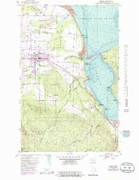
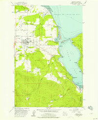
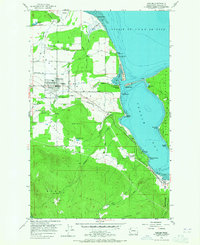
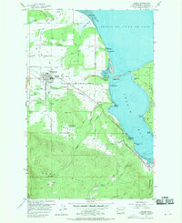
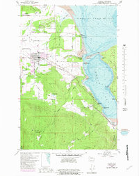
Loading map...1956 Map of Sequim
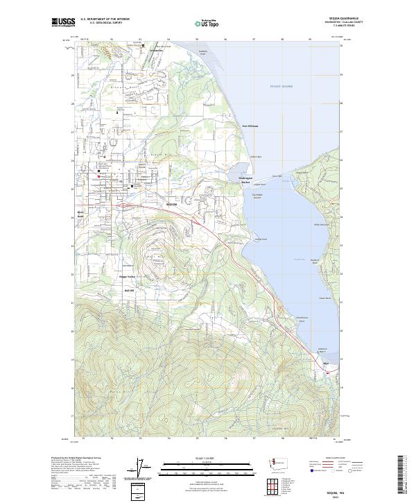
USGS Topo · Published 1986About this map
Sequim Prairie defines the central landscape of this coastal survey, where the town of Sequim serves as the primary hub of activity. The map reveals a transition from the agricultural lowlands of the prairie toward the dense elevations of the Burnt Hills and Lookout Hill to the south. Along the shoreline of the Strait of Juan de Fuca, the geography is marked by complex coastal features like Travis Spit, Klapot Point, and The Lagoon, illustrating the region's relationship with the sea.
Find a feature on this map
45 named features on this map. Tap any name to fly to it.
Don’t see what you’re looking for? This feature index may not catch every label — zoom into the map to look around manually.
Map Details
Date Portrayed1956
Date Published1986
PublisherU.S. Geological Survey
Map TypeTopographic
Scale1:24,000
Physical Dimensions21.8 x 28.1 inches
Editions of this 1956 Sequim Map
5 editions found
Historical Maps of Sequim Through Time
Featured Locations
Source Details
SourceU.S. Geological Survey
CopyrightPublic Domain